What is recorded here
Fairy fort / stone ringfort in Cloonacarrow (boyle By.) is a fairy fort or stone ringfort in Cloonacarrow (boyle By.), County Roscommon, Ireland. It is a subcircular overgrown area 21 metres north-south and 19 metres east-west, defined by a grass-covered stone spread 3 to 5 metres wide and 0.2 to 0.3 metres high. There is no visible entrance. Cashel is about 60 metres to the west-northwest and a rath is about 160 metres to the north.
Marked only on the 1914 ed. of the OS 6-inch map, and situated on a flat, low-lying landscape. Subcircular overgrown area (int. dims 21m N-S; 19m E-W) which remains unplanted in a deciduous wood defined by a grass-covered stone spread (Wth 3-5m; H 0.2-0.3m). There is no visible entrance. Cashel (RO007-066----) is c. 60m to the WNW and rath (RO007-065----) is c. 160m to the N.
Compiled by: Michael Moore
Date of upload: 24 August 2010
The monument record does not grant public access. Check the route and ask the landowner before entering private land.
- What survives
- Recorded monument
Places near here
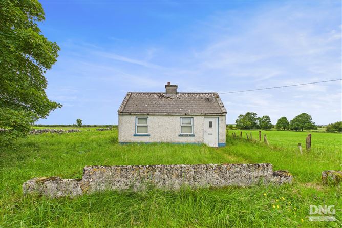 Embanked enclosureFairy fort / earthen ringfort · 207 yd
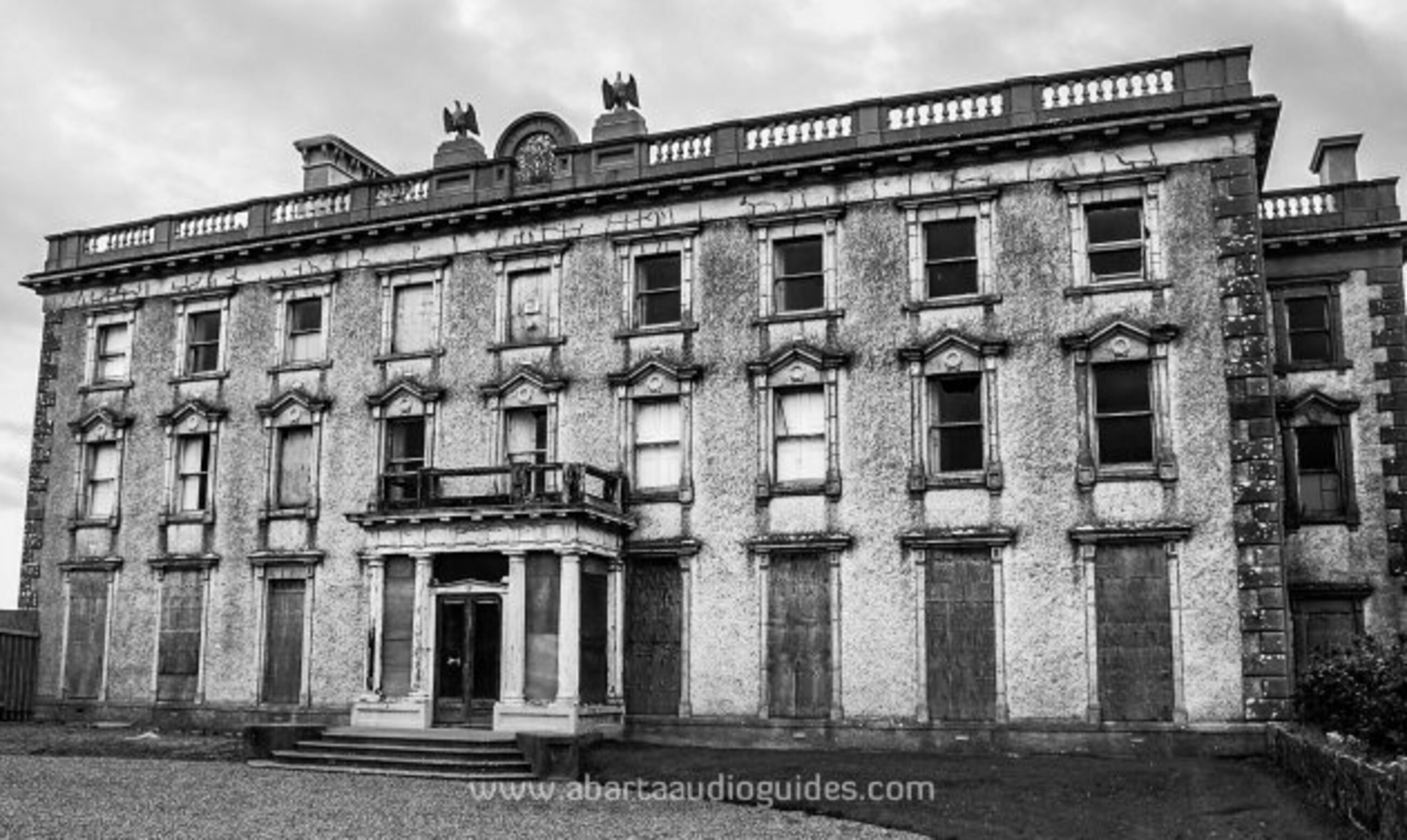 Enclosure in LisfarrellboyEnclosure · 561 yd
 Cootehall Bridgebridge · 1065 yd
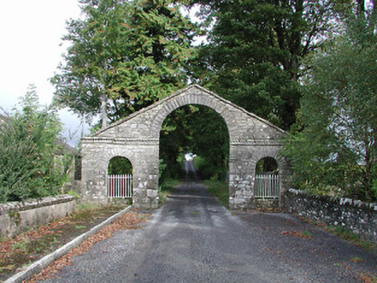 The Bawndemesne walls/gates/railings · 1197 yd
 IndicatedBawn · 1368 yd
 Hughestown WoodForest · 1499 yd
 Longford HillMountain / peak · 2.9 mi
 Moon RiverHeritage attraction · 3.3 mi
 Castle IslandIslet · 3.3 mi
 Horse-chestnutHorse-chestnut · 3.3 mi
 Green IslandIslet · 3.4 mi
 PortCastle, unclassified · 3.4 mi