What is recorded here
Fairy fort / stone ringfort in Cloonacarrow (boyle By.) is a fairy fort or stone ringfort in Cloonacarrow (boyle By.), County Roscommon, Ireland. The D-shaped grass-covered area measures 29.2m NNW-SSE and 27.5m ENE-SSW, with a 1.75m wide entrance at ESE. A grass-covered stone spread defines the NW-E-S perimeter, though the NE edge is straight where material was removed. Cootehall Lough lies 150m NNW on low-lying ground, while Cashel and rath sit 60m ESE and 180m NE respectively.
Marked only on the 1914 ed. of the OS 6-inch map, and situated on low-lying ground with the S tip of Cootehall Lough (max. dims c. 650m NW-SE; c. 280m NE-SW) c. 150m to the NNW. D-shaped grass-covered area (int. dims 29.2m NNW-SSE; 27.5m ENE-SSW) defined by a grass-covered stone spread (Wth 1.9-4.5m; int. H 0.05-0.75m; ext. H 0.1-0.9m) NW-E-S, but the perimeter has been removed elsewhere and the straight edge (L c. 25m) is at NE. There is an entrance (Wth 1.75m) at ESE. Cashel (RO007-067----) is c. 60m to the ESE, and rath (RO007-065----) is c. 180m to the NE.
Compiled by: Michael Moore
Date of upload: 24 August 2010
This remains an important historical record, but the official description says the monument is no longer visible or has been destroyed. The monument record does not grant public access. Check the route and ask the landowner before entering private land.
- What survives
- No visible remains or recorded as destroyed
Places near here
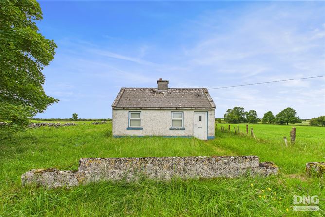 Embanked enclosureFairy fort / earthen ringfort · 237 yd
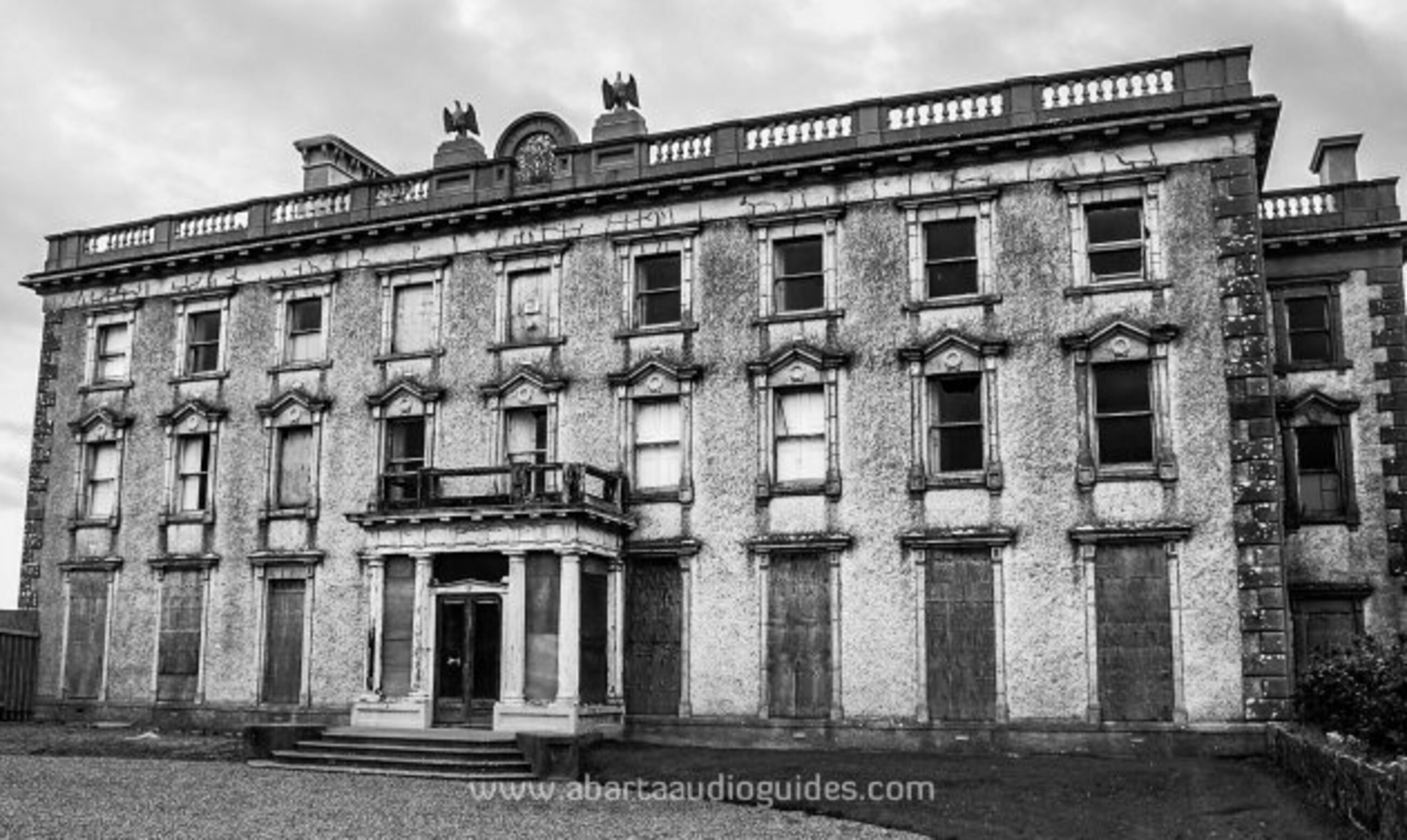 Enclosure in LisfarrellboyEnclosure · 559 yd
 Cootehall Bridgebridge · 1001 yd
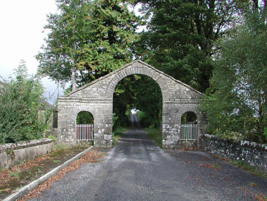 The Bawndemesne walls/gates/railings · 1138 yd
 IndicatedBawn · 1310 yd
 Hughestown WoodForest · 1546 yd
 Longford HillMountain / peak · 2.8 mi
 Castle IslandIslet · 3.2 mi
 Horse-chestnutHorse-chestnut · 3.3 mi
 Moon RiverHeritage attraction · 3.3 mi
 PortCastle, unclassified · 3.5 mi
 Lough Key Forest ParkWood · 3.5 mi