What is recorded here
Fairy fort / stone ringfort in Cartron (boyle By., Crossna Ed) is a fairy fort or stone ringfort in Cartron (boyle By., Crossna Ed), County Roscommon, Ireland. It occupies an oval overgrown area measuring 26 metres northeast-southwest and 20 metres northwest-southeast on a shelf on the northeast-facing slope of a drumlin. A stone spread defines the perimeter, with intermittently visible facing stones and no visible entrance, while the northern boundary joins a field wall. Another rath lies 180 metres to the south-southwest.
On a shelf on the NE-facing slope of a drumlin. Oval overgrown area (dims. 26m NE-SW; c. 20m NW-SE) defined by a stone spread (Wth 0.9m at E to 2.3m at W; int. H 0.1-0.5m; ext. H 0.6-0.9m) with intermittently visible facing stones (original Wth 0.8-1.2m). There is no visible entrance and the perimeter at N is incorporated into a field wall. Rath (RO003-054001-) is c. 180m to the SSW.
Compiled by: Michael Moore
Date of upload: 24 August 2010
The monument record does not grant public access. Check the route and ask the landowner before entering private land.
- What survives
- Recorded monument
Places near here
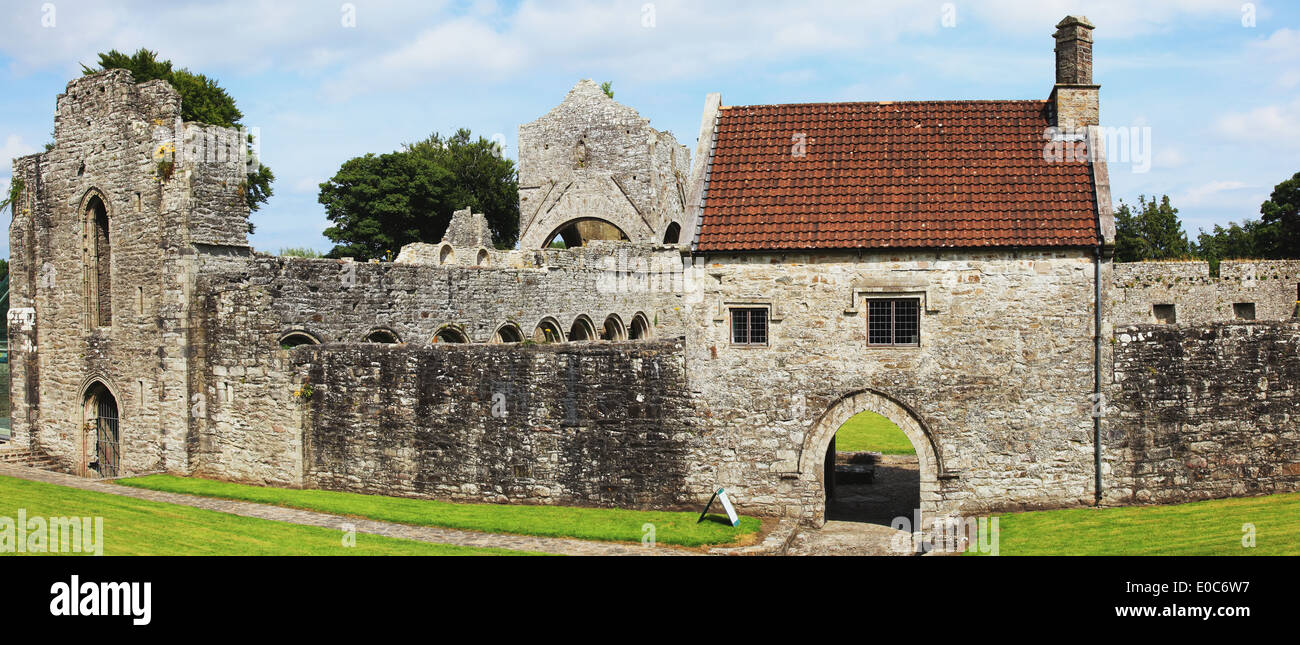 IndicatedFairy fort / earthen ringfort · 790 yd
 Tober PatrickHoly well · 1730 yd
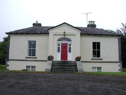 Riversdale Housecountry house · 1.2 mi
 Knockvicar BridgeOfficially recorded historic building · 1.4 mi
 Lahan IslandIslet · 2.2 mi
 Errironagh WoodForest · 2.2 mi
 Smutternagh WoodWood · 2.3 mi
 Ash IslandsIslet · 2.5 mi
 Turlough O'CarolanMemorial · 2.9 mi
 Longford HillMountain / peak · 3.0 mi
 Lough Key Forest ParkWood · 3.7 mi
 Erris BayBay · 4.0 mi