What is recorded here
Caherfadda holds a broken stone ring on western limestone, its wall reduced to a base of large blocks while an old interior wall still cuts east to west. The eastern gap suggests people took stones for other uses, yet the circle remains clear enough to walk around and imagine inside. A neighbouring cashel sits thirty-four metres south-west, proving this was not a lonely experiment but a small landscape of lived stone.
On a gentle W-facing slope on limestone pavement within an extensive field system (CL017-180----). A circular area (int. dims. 17m NNE-SSW; 14.6m WNW-ESE; ext. dim. 19.5m) defined by the base of a stone wall (Wth 1-1.4m). The wall-base is comprised of large stones (c. 0.7m x c. 0.5m) with internal and external facing intermittently visible. At E the wall has been robbed to its base and an old wall extends E-W across the interior. The overgrown field wall at W may impinge on the perimeter. Another cashel (CL016-049----) with house structures of indeterminate date (CL016-049002- and CL016-049003-) is located c. 34m to the SW.
Compiled by: Mary Tunney
Date of upload: 26 July 2022
The monument record does not grant public access. Check the route and ask the landowner before entering private land.
- What survives
- Recorded monument
Places near here
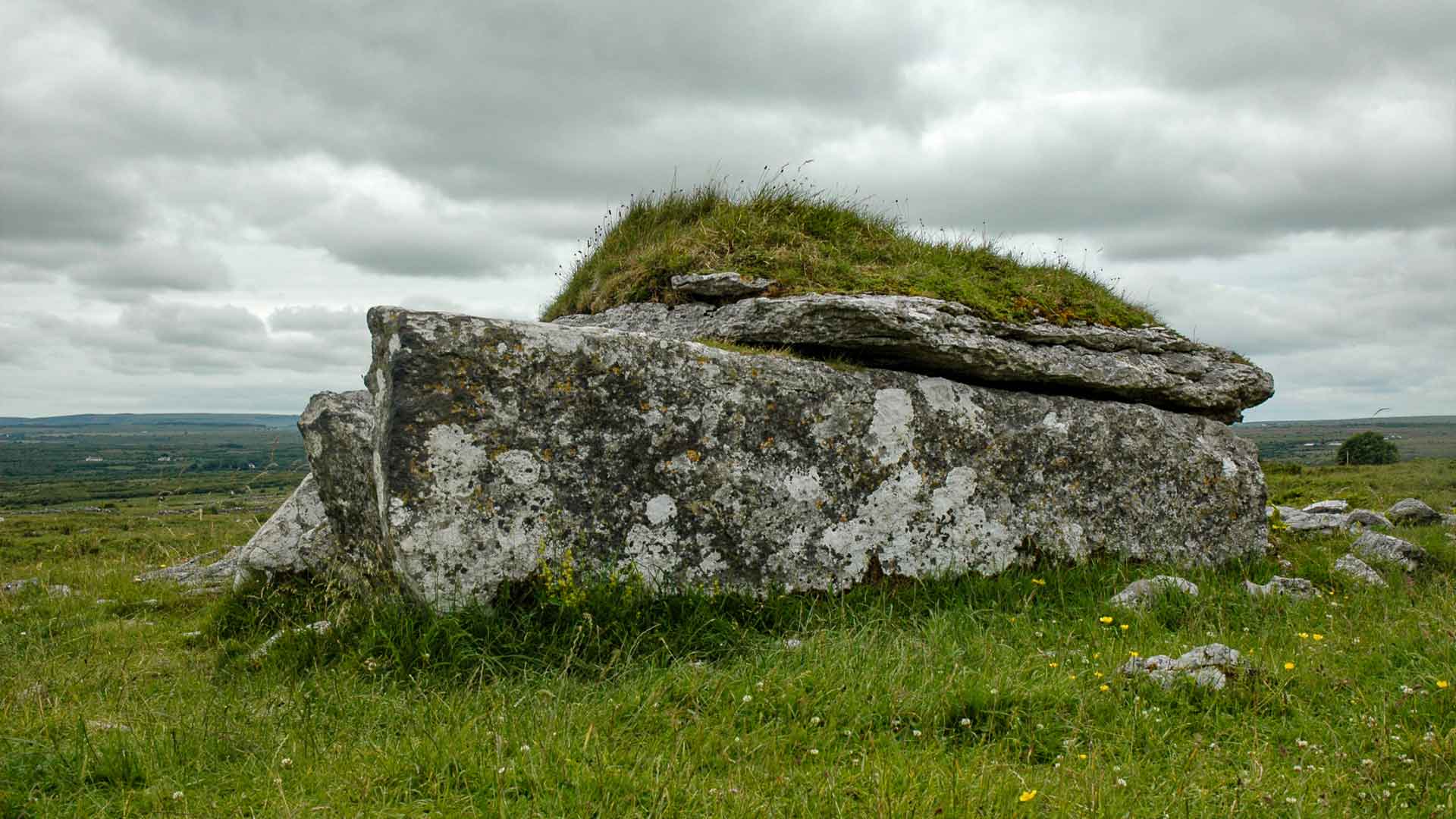 IndicatedEnclosure · 232 yd
 Not indcatedEnclosure · 377 yd
 Fergus River CaveCave · 1152 yd
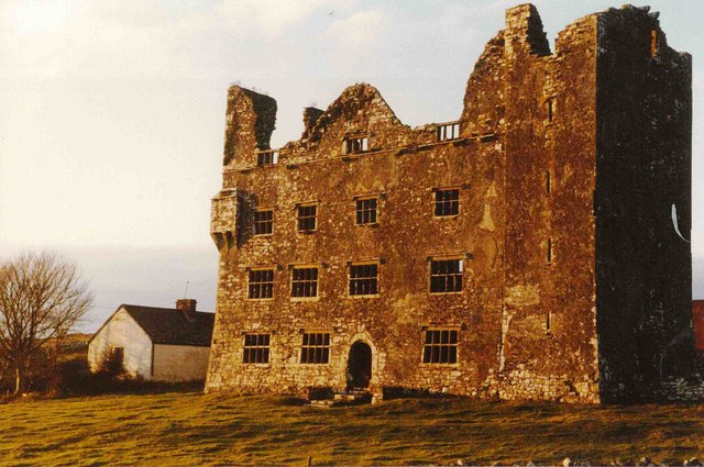 Leamaneh Castle (in ruins)Castle, tower house · 1.0 mi
 Leamaneh CastleCastle · 1.0 mi
 Moravian ChurchChurch · 1.5 mi
 Kilinaboy Church (in ruins)Church · 1.7 mi
 Farbrega RockNamed rock · 2.1 mi
 Inchiquin IslandIslet · 2.6 mi
 Rock IslandIsland · 2.7 mi
 CaherconnellHeritage attraction · 4.0 mi
 Cave of the Wild HorsesCave · 4.1 mi