What is recorded here
Caheranardrish holds a forty-metre stone ring where human purpose and fairy claim collide. The bank stands one to two metres high in places, swallowed elsewhere by pasture and time, its gaps uncertain whether built or broken. People may have lived inside, marked territory, or simply repeated a shape older than memory. The stones do not explain themselves; they wait for someone stubborn enough to listen.
Situated in low-lying marshy pasture. A sub-circular area (diam. 40m N-S by 37.1m E-W) enclosed by a single bank of dry-stone construction. The bank is denuded from N to SW (int. H 0.35m; ext. H 0.35m; Wth. 1.8m) whilst the remainder (int. H 0.9m; ext. H1.4m; Wth. 3.4m) has been incorporated into the surrounding field boundary system, and is masked in places by fallen trees and scrub overgrowth. The stone bank is constructed of un-bonded, un-hewn limestone with a rubble core, and has rough coursing on the faces. There is evidence of collapse to S and NNW. A gap in the SSW might be the original entrance (Wth. 1.2m). There are two more gaps; one in the N (Wth. 2m) and one in the NNW (Wth. 2m) both in the section of denuded bank.
Compiled by: Denis Power
Date of upload: 5 February 2013
The monument record does not grant public access. Check the route and ask the landowner before entering private land.
- What survives
- Recorded monument
Places near here
 Not shownFulacht fia · 278 yd
 Enclosure in Island-DuaneEnclosure · 582 yd
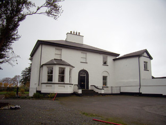 Mount Mungretrectory/glebe/vicarage/curate's house · 952 yd
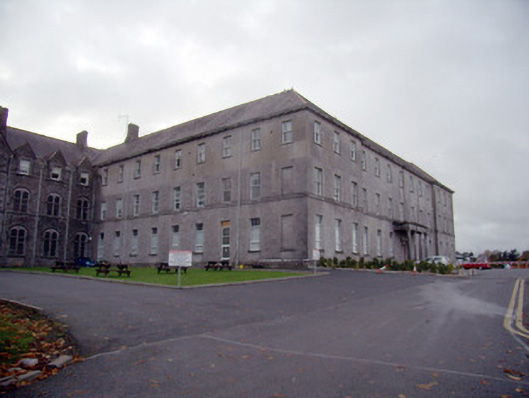 Mungret Collegecollege, stables · 1126 yd
 Castle FieldCastle, unclassified · 2.1 mi
 St James's WellSpring · 2.3 mi
 Carrigogunnell CastleRuins · 2.5 mi
 Sailors HaggardMemorial · 3.2 mi
 Grass IslandIslet · 5.8 mi
 Maiden RockNamed rock · 6.1 mi
 Mellon PointHeadland · 6.8 mi
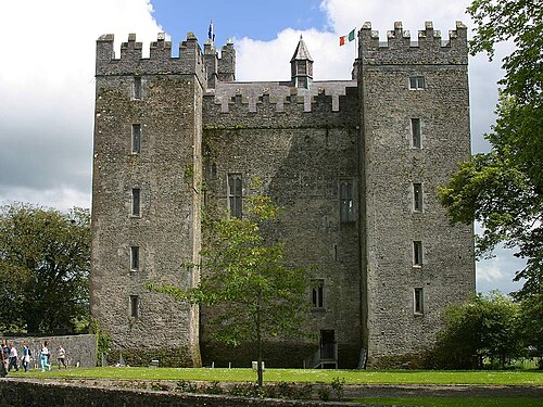 Bunratty CastleCastle · 6.9 mi