
What is recorded here
In gently undulating pasture on a slight E facing slope, with excellent views to the W. Present remains consist of a raised circular-shaped area (diam. 24m) defined by a scarp (int. H 0.25m; ext. H 0.35m; base Wth. 5.4m) that is disturbed by quarrying at E. A modern ramp in the SW- gives access to the slightly sloping interior. A field boundary running from W through N to NE follows the curve of the enclosure and may indicate the line of an outer fosse now infilled. Traces of this fosse in the SW are depicted on 1897 OS 25-inch map. The overgrown enclosing element is visible on Google Earth orthoimage taken 2019 with farm buildings to the SW.
Compiled by: Martin Fitzpatrick
Date of upload: 18 June 2020
A local fairy fort (ringfort/rath); wider significance not recorded.
The monument record does not grant public access. Check the route and ask the landowner before entering private land.
- What survives
- Recorded monument
Places near here
 Not shownFulacht fia · 338 yd
 Dotted outlineFairy fort / stone ringfort · 1142 yd
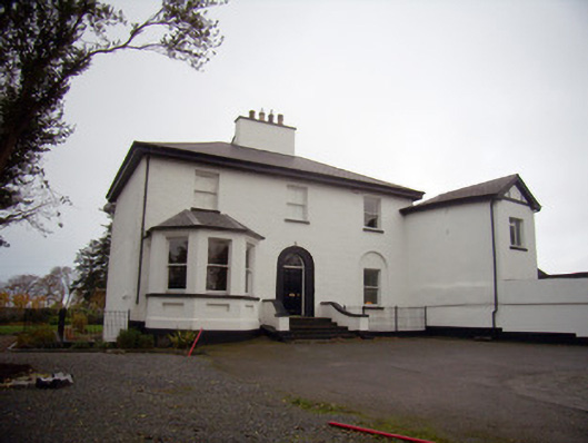 Mount Mungretrectory/glebe/vicarage/curate's house · 1501 yd
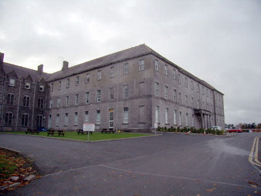 Mungret Collegecollege, stables · 1708 yd
 Castle FieldCastle, unclassified · 2.1 mi
 St James's WellSpring · 2.3 mi
 Meelick Ho.House, fortified house · 2.3 mi
 Sailors HaggardMemorial · 3.2 mi
 Grass IslandIslet · 5.7 mi
 Maiden RockNamed rock · 5.9 mi
 Mellon PointHeadland · 6.6 mi
 Bunratty Castlehouse · 6.9 mi
Other information
Photo: Credit not shown in the picture search · Rights wording not checked; contact us if this picture should be removed