
What is recorded here
Identified by Ken Wiggins as BGE 4/1/3 during archaeological monitoring (Licence 02E1649) along the Bord Gáis Éireann Barnakyle to Coonagh West gas pipeline (Wiggins 2004, 307). Excavated under licence no. 02E1733 (Wiggins 2002), the results were summarised as following; ‘Five cuts were identified in the subsoil. The most substantial of these was F1, a pit-like feature, 1.7m long, 1.35m wide and 0.37m deep. The fill was dark grey, charcoal-rich clay, containing a significant amount of burnt stone fragments. An irregular cut (F2), aligned north–south, extended from the northern side of F1, continuing beyond the limits of the wayleave to the north. This feature had an excavated length (north–south) of 2.2m and was 0.6m wide and 0.15m deep. The fill was grey silty clay, with a small quantity of burnt stone. There were three other post-hole-type features on the site: F3 (0.37m long, 0.28m wide and 0.13m deep), with fill of dark grey, silty clay, F4 (0.48m long, 0.25m wide and 0.33m deep) and F5 (0.54m long, 0.38m wide and 0.1m deep), both with a fill of soft, grey, silty clay, with a few spots of charcoal and burnt stone fragments. The existence of deposits containing burnt stone material in this group of cut features indicates that they most likely relate to a fulacht fiadh, for which there was no other evidence within the limits of the wayleave. No artefacts were discovered.’ (www.excavations.ie 2002; 1118).
Compiled by: Martin Fitzpatrick
Date upload: 30 June 2020
The monument record does not grant public access. Check the route and ask the landowner before entering private land.
- What survives
- Recorded monument
Places near here
 Enclosure in Island-DuaneEnclosure · 338 yd
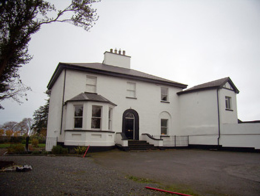 Mount Mungretrectory/glebe/vicarage/curate's house · 1229 yd
 Dotted outlineFairy fort / stone ringfort · 1323 yd
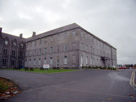 Mungret Collegecollege, stables · 1387 yd
 Castle FieldCastle, unclassified · 2.0 mi
 St James's WellSpring · 2.3 mi
 Carrigogunnell CastleRuins · 2.5 mi
 Sailors HaggardMemorial · 3.3 mi
 Grass IslandIslet · 5.8 mi
 Maiden RockNamed rock · 6.1 mi
 Mellon PointHeadland · 6.7 mi
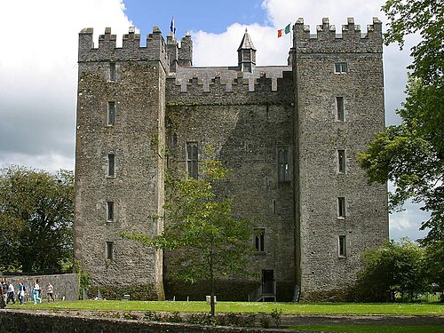 Bunratty CastleCastle · 7.0 mi
Other information
Photo: Credit not shown in the picture search · Rights wording not checked; contact us if this picture should be removed