What is recorded here
No visible mound or broken wall remains in the pasture, yet the lost caher still gives the townland its name. It stood at the east end with extensive underground passages, a hidden depth beneath the ordinary ground. Men levelled the area and built farms above the memory, but the name preserves what the soil forgot.
In pasture, near farm buildings on a NE-facing slope. According to local information, traces of a stone fort, which gave its name to this townland, existed here, a short distance from a ruined stone house to the S. O'Donoghue (1986, 2) mentions that 'the caher, now demolished although traces remain, was at the east end of the townland with extensive underground passages' (CO147-081002-). The area was subsequently levelled off and the cashel is not visible at ground level.
The above description is derived from 'The Archaeological Inventory of County Cork. Volume 5' (Dublin: Stationery Office, 2009).
Date of upload: 22 December 2009
The monument record does not grant public access. Check the route and ask the landowner before entering private land.
- What survives
- Recorded monument
Places near here
 Man-made underground passage in Caher (carbery W. (w.d.) By., Kilmore Par.)Man-made underground passage · 1 yd
 Barley CoveHeritage attraction · 1004 yd
 CaveBurial · 1202 yd
 Castle (Site of)Castle, unclassified · 1319 yd
 Chimney CoveBeach / strand · 1650 yd
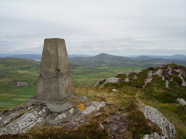 Mizen PeakMountain / peak · 1650 yd
 Creamery PlatformMemorial · 1.1 mi
 RoadRoad, road/trackway · 1.4 mi
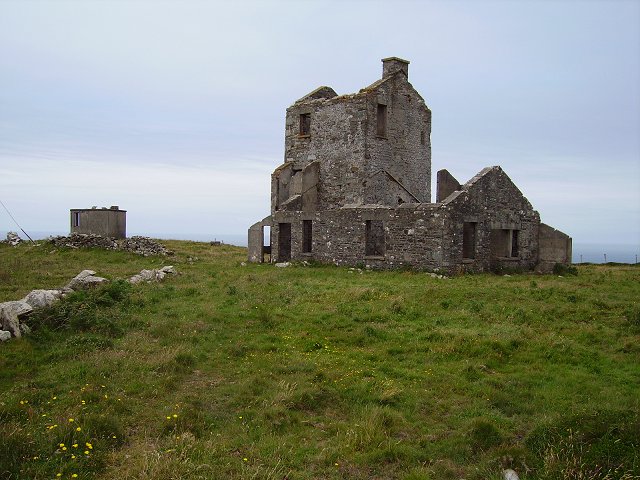 Cloghane Signal Towersignal tower · 1.5 mi
 Mizen Head Visitors CentreHeritage attraction · 1.6 mi
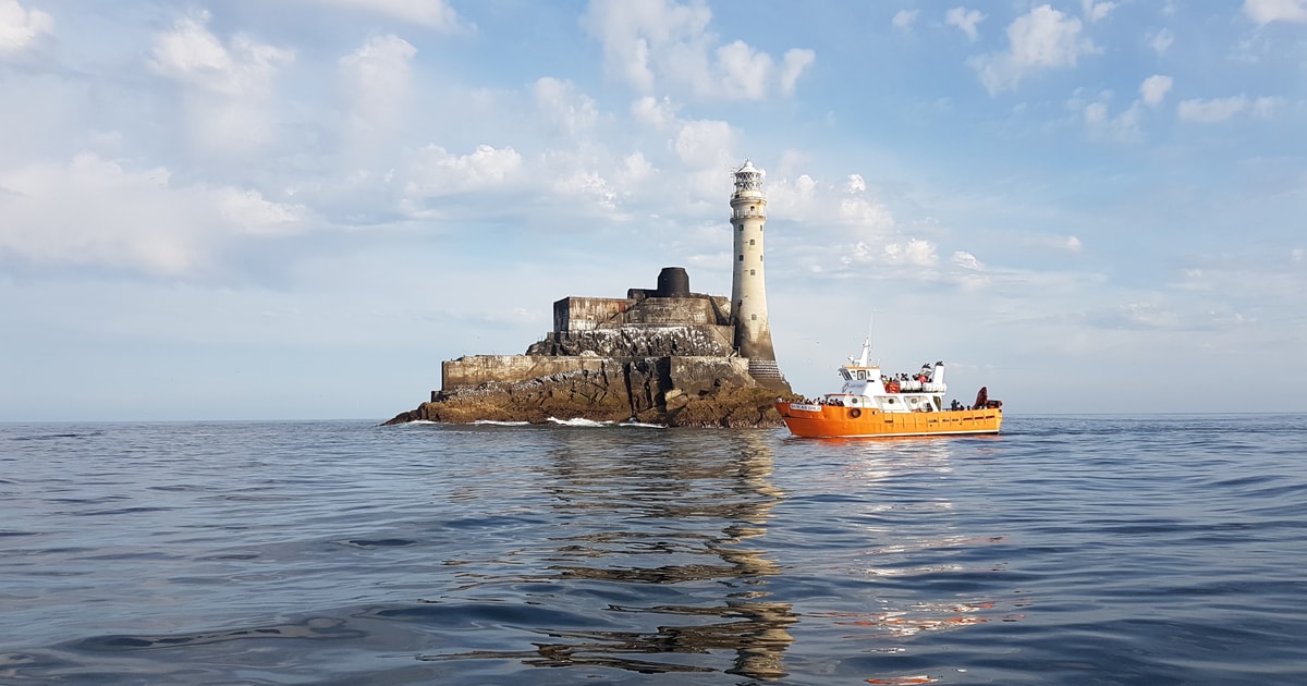 Fastnet Lighthouse Centenary Stone-CourseMemorial · 1.7 mi
 Three Castles (in Ruins)Castle, tower house · 1.8 mi