What is recorded here
Fairy fort / stone ringfort in Belclare is a fairy fort or stone ringfort in Belclare, County Sligo, Ireland. It occupies a circular area approximately forty metres across, terraced into the steep north-facing slope of a ridge. A scarp topped by a partial drystone wall defines the interior, which slopes downward and remains bisected by an east-west field boundary.
In pasture, on the steep N-facing slope of a ridge. A circular area (diam. c. 40m) terraced into the ridge with the S arc c. 1.5m below, and the N arc 0.3-2m above, the external ground level. There are no visible surface remains of the SE arc. The interior is defined by a scarp topped by a drystone wall (Wth 2m; int. H 0.3m) in parts along the N arc. The interior slopes down to N and is bisected by an E-W field boundary. Other field boundaries extend S and N from the E-W field boundary.
The above description is derived from the published 'Archaeological Inventory of County Sligo' compiled by Ursula Egan, Elizabeth Byrne, Mary Sleeman with Sheila Ronan and Connie Murphy (Dublin Stationery Office, 2005).
Date of upload: 18 January 2008
The monument record does not grant public access. Check the route and ask the landowner before entering private land.
- What survives
- Recorded monument
Places near here
 Indicated (1838).Fairy fort / earthen ringfort · 153 yd
 Castle (in Ruins)Castle, tower house · 462 yd
 LisboyFairy fort / stone ringfort · 753 yd
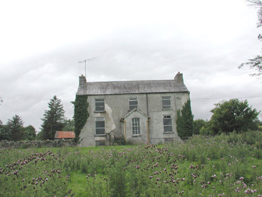 The Gleberectory/glebe/vicarage/curate's house · 1346 yd
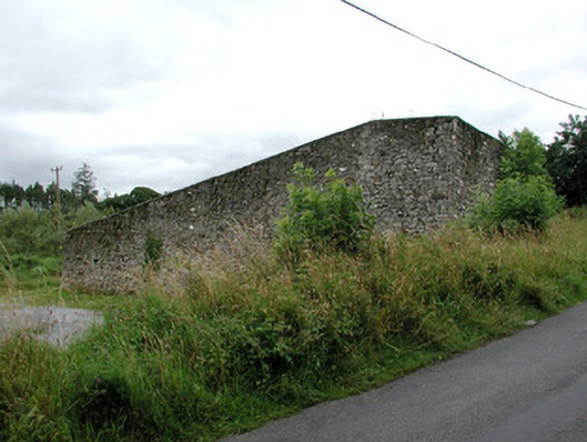 handball alleyhandball alley · 1521 yd
 KnockasliggaunMountain / peak · 4.1 mi
 Castle Carragh in RuinsCastle, unclassified · 4.1 mi
 HawthornHawthorn · 4.2 mi
 Hennigan's Heritage CentreHeritage attraction · 4.3 mi
 Lough Talt TrailVisitor information · 4.5 mi
 Largan HillMountain / peak · 5.3 mi
 Carrick WoodWood · 5.4 mi