What is recorded here
Mortimer Rowlands walked the edge of a fairy fort and wondered whether the ring was a trap or a gift. He touched a stone, dropped a button, and ran back to his room. At dawn the ring had swallowed the field, his father’s farm, and half the county. Mortimer jumped in, fell through layers of sky and memory, and emerged inside a small kitchen where an old woman waited with tea. She had been turning the ring into a door for a hundred years, but she needed a human heart to finish the shape. He gave hers, lost herself, and returned with a child made of light. The ring disappeared, the county healed, and every person who touched red clay that night dreamed of a kitchen they could almost remember.
On a S-facing slope in undulating grassland. Very poorly preserved subcircular cashel (E-W 45.3m, N-S 41.2m) defined by a grassed-over drystone wall, overlain by a field wall at S. A grassed-over stone wall, possibly associated, radiates from the monument at NE. Within the interior and abutting the enclosing element are a number of stone structures: (a) to N, oval in plan (E-W 16.2m, N-S 14m), and (b) to S, triangular in plan (L 10m, Wth 8.8m), are probably internal divisions; while (c) to W, D-shaped (L 7.2m, Wth 5.7m) is probably a house (see GA044-021001-).
The above description is derived from the published 'Archaeological Inventory of County Galway Vol. II - North Galway'. Compiled by Olive Alcock, Kathy de hÓra and Paul Gosling (Dublin: Stationery Office, 1999). In certain instances the entries have been revised and updated in the light of recent research.
Updated by: Olive Alcock
Date of revised upload: 23 July 2015
The monument record does not grant public access. Check the route and ask the landowner before entering private land.
- What survives
- Recorded monument
Places near here
 Field system in Barnaderg NorthField system · 670 yd
 Barnaderg CastleCastle · 825 yd
 Killererin Church (in Ruins)Church · 1188 yd
 Saint Mary's Catholic Churchbell tower/stand · 1250 yd
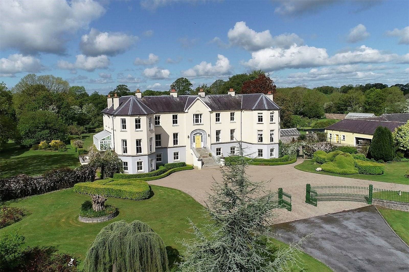 Lisherriddy FortFairy fort / earthen ringfort · 1.3 mi
 Knockmoy AbbeyHeritage attraction · 2.8 mi
 Castle (in ruins)Castle, tower house · 4.0 mi
 European ashEuropean ash · 7.5 mi
 Menlough IRAMemorial · 8.0 mi
 Mass RockNamed rock · 8.6 mi
 KnockmaaWood · 9.2 mi
 water pumpwater pump · 1463 yd