What is recorded here
No visible mythic boundary, but a cashel: a stone ringfort set in pasture atop a limestone crag in Ballynort, County Limerick. Its bank still stands about a metre high inside, faced with large limestone slabs laid edge to edge around a circular area thirty-three by thirty-one metres across. The southeast gap is two point three metres wide, flanked by two stones, while cattle have worn the western part into a shallow, broken line. A field bank leaves the eastern side and runs forty-five metres downslope, as if the fort had grown an arm into the hill.
In pasture, atop limestone crag. Circular area (33m N-S; 31m E-W) enclosed by stone-faced earth-and-stone bank (int. H 1m; ext. H 0.7m), best preserved NNW->ESE but much eroded by cattle W->NNW. Though now surviving only in places the stone facing consists of large limestone slabs, laid edge to edge along circumference of enclosure. Entrance (Wth 2.3m) at SE flanked by two stones at either side. Interior, littered with loose stone and with some limestone outcroping, dips down towards centre. Linear earth-and-stone field bank (H 0.6m; Wth c. 4.5m) abuts enclosure at E and extends downslope to E for c. 45m. Haybarn and cattle crush recently erected immediately outside enclosure at WNW.
Compiled by: Denis Power
Date of upload: 26 August 2011
The monument record does not grant public access. Check the route and ask the landowner before entering private land.
- What survives
- Recorded monument
Places near here
 Enclosure in Ballyengland LowerEnclosure · 1314 yd
 Mill (in ruins)Mill, unclassified · 1419 yd
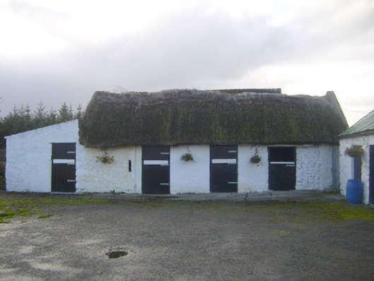 stablesstables · 1495 yd
 Sunday WellsHoly well · 1.2 mi
 Askeaton CastleHeritage attraction · 2.3 mi
 Bawn in Castletown (kenry By.)Bawn · 2.4 mi
 European YewEuropean Yew · 2.5 mi
 Curraghchase Forest ParkForest · 2.6 mi
 Carriganea CastleCastle · 2.6 mi
 Courtbrown PointHeadland · 3.3 mi
 Greenish IslandIslet · 3.4 mi
 Holly IslandIslet · 3.4 mi