What is recorded here
Fairy fort / stone ringfort in Ballynahowna is a fairy fort or stone ringfort in Ballynahowna, County Sligo, Ireland. The subcircular cashel sits on an east-facing slope above the Easky River, with a grass-covered drystone wall and steep boulder-faced scarp marking its boundary. A small rectangular hut site and a square structure with wide walls remain inside or beside the bank, while a possible underground passage and lazy beds are still visible within the divided interior.
In average to poor pasture, situated on an E-facing slope above the Easky River, which lies 150m to E. Excellent views are afforded in all directions, except at S-SW where they are limited by higher ground. Raised subcircular area (42.2m E-W; 41.7m N-S) enclosed from SSE-N by a largely grass-covered wall of drystone masonry incorporating small quantities of earth. Elsewhere the defining element is a steep scarp faced with massive boulders and stones. No fosse. Original entrance not recognisable. A short distance inside the bank at NW is a small rectangular hut site (SL011-088003-) with an entrance (Wth. 0.6m) in the centre of the N wall. Projecting out from the cashel scarp at SSW is a small square structure (SL011-088004-), possibly an animal shelter. The other three sides of the structure are defined by very wide drystone-built walls (Wth. 2.7m) Only three stones of the wall at the ESE side are still upstanding. There is a possible Man-made underground passage (SL011-088002-) in the cashel. The cashel is divided into two approximately equal portions by a NNE-SSW field boundary. Lazy beds traverse the interior.
Compiled by: Patrick F. O'Donovan
Date of upload: 19 January 2011
The monument record does not grant public access. Check the route and ask the landowner before entering private land.
- What survives
- Recorded monument
Places near here
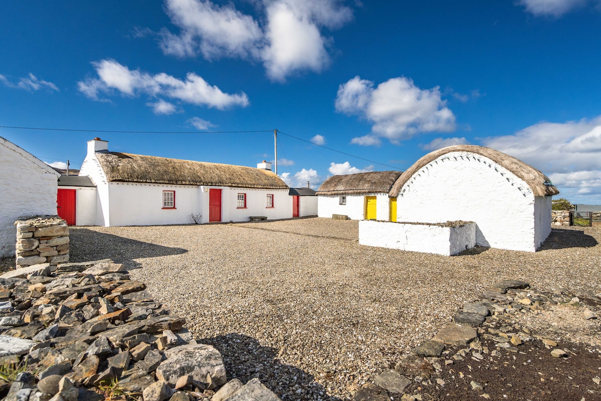 Hut site in BallynahownaHut site · 18 yd
 IndicatedFairy fort / earthen ringfort · 282 yd
 CastleCastle, motte · 530 yd
 Ballynahowna CastleCastle, tower house · 689 yd
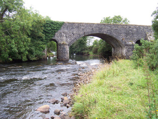 bridgebridge · 1262 yd
 Dromore West Union WorkhouseRuins · 1361 yd
 Split RockNamed rock · 1.4 mi
 Jim Smith MemorialMemorial · 2.6 mi
 Cooanmore PointHeadland · 2.6 mi
 Wild Atlantic Way: Easky PierVisitor information · 2.8 mi
 Wild Atlantic Way: Inishcrone PierVisitor information · 7.2 mi
 Grave of the Black PigArchaeological place · 7.6 mi