What is recorded here
Mortals may have built the D-shaped stone ring at Altnapaste, but the fairies certainly claimed it. They rebuilt the crumbling wall, opened two doors instead of one, and vanished into the mountain before dawn. The trees still grow inside the fort like green fingers closing over a secret. What humans forgot, the fairies remembered.
Internal diam. 22.5m. A D-shaped enclosure surrounded by a stone wall surviving to a height of 1.5m. This is now tree-planted and shows evidence of reconstruction. There are two entrances at present, one to the NW and another to the SE. It is situated in rough grazing at the foot of Altnapaste Mountain.
The above description was derived from the 'Archaeological Survey of County Donegal. A description of the field antiquities of the County from the Mesolithic Period to the 17th century.' Compiled by: Brian Lacey with Eamon Cody, Claire Cotter, Judy Cuppage, Noel Dunne, Vincent Hurley, Celie O'Rahilly, Paul Walsh and Seán Ó Nualláin (Lifford: Donegal County Council, 1983). In certain instances the entries have been revised and updated.
Date of upload: 22 September 2008
The monument record does not grant public access. Check the route and ask the landowner before entering private land.
- What survives
- Recorded monument
Places near here
 Altnapaste Bridgebridge · 603 yd
 Holy WellHoly well · 1232 yd
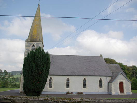 Saint John's Church of Ireland Churchchurch/chapel · 1.1 mi
 IndicatedFairy fort / stone ringfort · 1.1 mi
 AltnapasteMountain / peak · 1.3 mi
 Gorey HillMountain / peak · 1.8 mi
 Drumboe WoodForest recreation place · 4.8 mi
 Newmills Corn and Flax MillsHeritage attraction · 9.0 mi
 Killeter ForestForest · 9.0 mi
 Site of Castle SollusCastle, unclassified · 9.3 mi
 Battle of Scarrifholisbattle · 9.3 mi
 Ard na Mona WoodOfficial walking route · 9.4 mi