What is recorded here
Depicted as a circular enclosure possibly a ringfort, on the 1837 ed. OS 6-inch map which where it is shown located immediately to the NE of a small quarry or gravel pit. On this map a small limekiln appears to be shown built into the N side of the ringfort. On the Ordnance Survey Fair Plan this monument is annotated as ‘Fort’ and ‘Gravel Pit’. The monument is not indicated on the revised 1910 ed. OS 6-inch map. The site of this possible ringfort was inspected in 1976 and described as a destroyed monument of which only a large shallow oval-shaped depression survives which appears t be the remains of a disused gravel pit. The field has been recently ploughed and planted. No archaeological features visible.' (SMR file).
Compiled by: Caimin O'Brien
Date of upload: 02 July 2013
The monument record does not grant public access. Check the route and ask the landowner before entering private land.
- What survives
- Recorded monument
Places near here
 OutlinedFairy fort / earthen ringfort · 673 yd
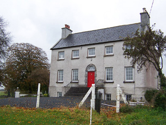 Robinstown Housecountry house · 923 yd
 Partially hachuredFairy fort / earthen ringfort · 1284 yd
 Corn Mill & Tuck MillWater mill, unclassified · 1385 yd
 Robinstown CastleCastle · 1494 yd
 CastleCastle, tower house · 1.6 mi
 Dysart IslandIsland · 2.5 mi
 Ash IslandIslet · 2.8 mi
 Derrygreenagh HillMountain / peak · 6.0 mi
 Ancient Ring FortWood · 6.0 mi
 Ardan WoodWood · 6.2 mi
 Bonfire HillMountain / peak · 6.8 mi