What is recorded here
Situated on a small terrace, on the NE side of a high hill, in pasture with extensive views to N and SE. Townland boundary with Killarechurch and Carn located immediately to S. Levelled monument described in 1971 as no surface remains visible. Outline of levelled enclosure (approx. diam. 26m) visible on Digital Globe aerial photograph. Outline of upstanding monument clearly visible on oblique aerial photographS (CUCAP AOY076/077) taken 12/07/1966.
Compiled by Alison McQueen, Vera Rahilly and Caimin O’Brien.
Date of upload: 13 August 2019
The monument record does not grant public access. Check the route and ask the landowner before entering private land.
- What survives
- Recorded monument
Places near here
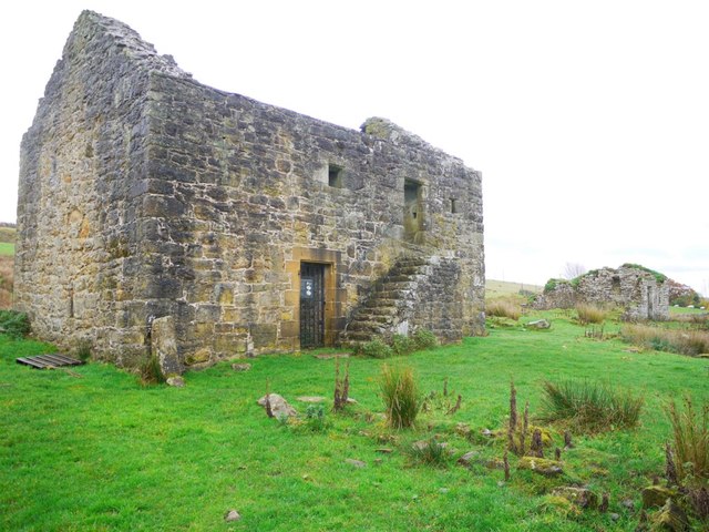 Enclosure in KillarechurchEnclosure · 183 yd
 OutlinedFairy fort / ringfort · 369 yd
 Killare ChurchChurch · 973 yd
 Lunestown Houseoutbuilding · 1188 yd
 Hill of UisneachMountain / peak · 1271 yd
 European ashEuropean ash · 1272 yd
 Bawn in KillarecastleBawn · 1380 yd
 Stremmingstown CastleCastle · 1540 yd
 Sam's ParkForest · 2.1 mi
 KnockastiaMountain / peak · 3.8 mi
 Abbeyshrule AbbeyRuins · 7.8 mi
 Guest ServicesVisitor information · 7.9 mi