What is recorded here
Situated on a natural rise in grassland with good views of the surrounding countryside. Depicted on the 1837 OS Fair Plan map as a roughly circular shaped earthwork and annotated as ‘fort’. No surface remains visible of monument that was levelled in land improvement works carried out in 1970.
Monument was upstanding in 1970 when an OPW field report described the monument as following: ‘Old farmstead? Not a ringfort. Very non-descript, roughly D-shaped enclosure [dims 30m x 35m]. No well defined bank (possibly collapsed wall). No fosse. Suggestions of small house inside (very vague). On natural rise (altitude] 200’-300’) falling to E. In open pasture field’ (OPW Field Report 07/05/1970). This report suggests the possibility of a house site inside the roughly D-shaped enclosure.
Compiled by: Frank Coyne and Caimin O'Brien
Date of upload: 27 August 2018
The monument record does not grant public access. Check the route and ask the landowner before entering private land.
- What survives
- Recorded monument
Places near here
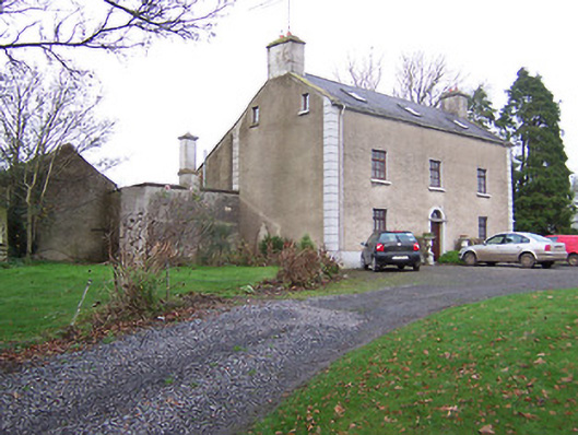 Clonmaskill Househouse · 1162 yd
 Chapel in Crowinstown GreatChapel · 1453 yd
 OutlinedFairy fort / earthen ringfort · 1.5 mi
 Settlement desertedSettlement deserted, medieval · 1.5 mi
 Martinstown Castle in RuinsCastle, tower house · 2.0 mi
 IndicatedCastle, motte · 2.0 mi
 European YewEuropean Yew · 2.2 mi
 Persian WalnutPersian Walnut · 2.3 mi
 FraineMountain / peak · 4.2 mi
 Drewstown LittleMountain / peak · 5.1 mi
 BoglandMemorial · 6.9 mi
 Zip WireHeritage attraction · 9.8 mi