What is recorded here
Fairy fort in Rowans Big: a hidden ring under Dublin farmland, caught only in a 1972 aerial photograph. The field may have swallowed its marker, yet the camera recovered the shape: a small circle with a gap where life could enter.
Situated on a gentle E-facing slope under tillage west of the M1. An aerial photograph taken in 1972 (FSI 4.507/8) shows a roughly circular cropmark (diam. c. 20m) of an enclosure with an opening in the SW quadrant. Not visible at ground level.
Compiled by: Geraldine Stout
Update by: Christine Baker
Date of upload: 31 October 2014
The monument record does not grant public access. Check the route and ask the landowner before entering private land.
- What survives
- Recorded monument
Places near here
 Burnt pit in CourtloughBurnt pit · 418 yd
 QuarryQuarry · 904 yd
 Cist in CourtloughCist · 1132 yd
 Wavin LakesNature reserve · 1.2 mi
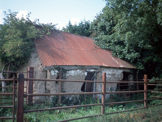 farmyard complexfarmyard complex · 1.3 mi
 Man O'War HillMountain / peak · 1.5 mi
 Balrothery TowerCastle · 1.5 mi
 Balrothery Heritage CentreMuseum · 1.5 mi
 Flat cemetery in DarcystownFlat cemetery · 1.6 mi
 KnockbrackMountain / peak · 1.8 mi
 Castle (remains of)Castle, tower house · 2.0 mi
 Picnic AreaPicnic place · 2.3 mi