What is recorded here
Fields cut through the fort now, but it stood as one place. The fairy name may be later invention, human wonder given a shape. The river is close enough to hear when wind changes, and the flat grassland gives nothing back but light. What the fort kept is no longer written anywhere.
In level grassland 300m N of the River Suck. Poorly preserved subcircular rath (E-W c. 23m, N-S c. 20m) defined by a bank and external fosse. A number of field boundaries cut the enclosing elements.
The above description is derived from the published 'Archaeological Inventory of County Galway Vol. II - North Galway'. Compiled by Olive Alcock, Kathy de hÓra and Paul Gosling (Dublin: Stationery Office, 1999).
Date of upload: 05 August 2010
The monument record does not grant public access. Check the route and ask the landowner before entering private land.
- What survives
- Recorded monument
Places near here
 Monastery (in ruins)Church · 539 yd
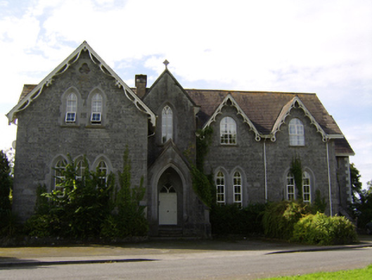 College Housecollege · 703 yd
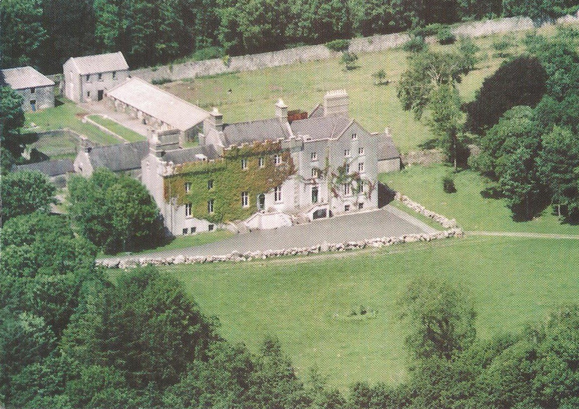 Enclosure in CreaghEnclosure · 1480 yd
 Bawn in Townparks (moycarn By. - Ballinasloe)Bawn · 1.0 mi
 Ardcarn IslandsIslet · 1.2 mi
 Enclosure in Ashford,rooaun (moycarn By.)Enclosure · 1.8 mi
 Castle ParkCastle, unclassified · 2.9 mi
 West WoodWood · 3.0 mi
 Urraghry HillMountain / peak · 3.9 mi
 Clooncoran IslandIsland · 4.4 mi
 Split HillMountain / peak · 4.8 mi
 The bloody HollowHeritage attraction · 5.0 mi