What is recorded here
Depicted on McCrea’s map of Co. Monaghan (1793) as a circular earthwork on a knoll c. 200m NE of the cross-roads and in the vicinity of Montana House, but its precise location cannot be identified.
Date of revised upload: 28 June 2017
The monument record does not grant public access. Check the route and ask the landowner before entering private land.
- What survives
- Recorded monument
Places near here
 Mentana Househouse · 344 yd
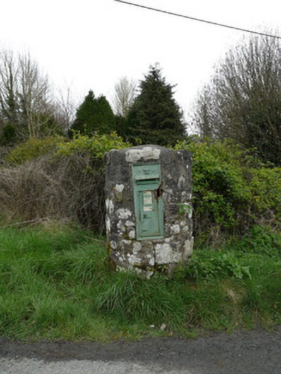 post boxpost box · 352 yd
 Crannog in DrumboCrannog · 1694 yd
 Man-made underground passage in Killark (farney By.)Man-made underground passage · 1751 yd
 Tree IslandWood · 1.4 mi
 Lagan castleCastle, tower house · 1.7 mi
 Flat cemetery in AnnaheanFlat cemetery · 2.1 mi
 BarleyhillMountain / peak · 2.3 mi
 The MountCastle, motte and bailey · 2.4 mi
 Monkey-puzzleMonkey-puzzle · 3.1 mi
 Natural Play AreaMemorial · 3.5 mi
 CabraMountain / peak · 3.6 mi