What is recorded here
Situated on a natural rise in undulating grassland, on the demesne lands of Mount Murray House located 540m to SSE. The tree-lined earthwork visible on the 1837 ed. OS 6-inch map was located immediately W to the avenue leading up to Mount Murray with gate lodge 115m to N. Lough Owel is visible 320m to SE. Depicted on the 1837 OS Fair Plan map as a circular shaped earthwork annotated as a ‘fort’. No surface remains of this levelled monument. At the time of the site visit in 1972 the field had been ploughed and all was visible was a circular shaped area (approx. diam. 29.4m NE-SW; 28m NW-SE) with remains of a shallow fosse (Wth 8.2m; D 0.3m) from ESE-S-NNW. The interior slopes slightly from WSW-ENE and contains scatters of burnt stone, bone and teeth. This levelled site is visible as a crop mark on Digital Globe aerial photograph taken November 2011.
Compiled by: Frank Coyne and Caimin O'Brien
Date of upload: 25 August 2017
The monument record does not grant public access. Check the route and ask the landowner before entering private land.
- What survives
- Recorded monument
Places near here
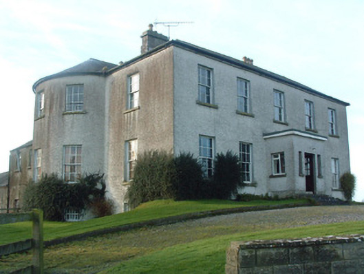 Mount Murray Housecountry house · 638 yd
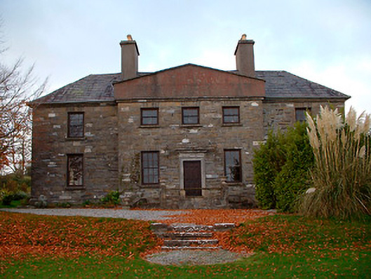 Rathbennett Houseschool · 819 yd
 Partially hachuredFairy fort / earthen ringfort · 1031 yd
 Kilpatrick WellHoly well · 1308 yd
 Castle Quarter, Castle (in ruins)Castle, unclassified · 1707 yd
 IndicatedBawn · 1712 yd
 Carrickphilbin IslandIslet · 2.4 mi
 Bridge Memorial (Kenna)Memorial · 2.6 mi
 Srudarra IslandIslet · 3.0 mi
 Baronstown ForestWood · 3.3 mi
 Horse-chestnutHorse-chestnut · 3.5 mi
 South East GateHeritage attraction · 10 mi