What is recorded here
No visible remains. The completed circle never appeared on the 1838 map. The district court ordered the survey to be redone. The first attempt measured an angle the second refused to repeat. That contradiction, not the missing building, is the shape of the fort.
On a very gentle NW-facing pasture slope. Shown on the 1st ed. (1838) of the OS 6-inch map as a circular area (est. max. diam. c. 35m) enclosed by a bank. Only a very slightly curving arc of bank (int. H 0.7m; Wth 2.6m; ext H 0.6m) at NE survives, and has been planted with a hedge and reused as a field boundary. A farmyard and paddock occupy the N limits.
Compiled by: Gearóid Conroy
Date of upload: 30 August 2012
The monument record does not grant public access. Check the route and ask the landowner before entering private land.
- What survives
- Recorded monument
Places near here
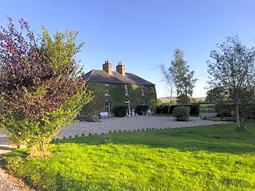 Enclosure in FennorEnclosure · 870 yd
 Enclosure in Grangebeg (kildangan Ed)Enclosure · 1083 yd
 Church (in Ruins)Church · 1.5 mi
 Site of CastleCastle, unclassified · 1.7 mi
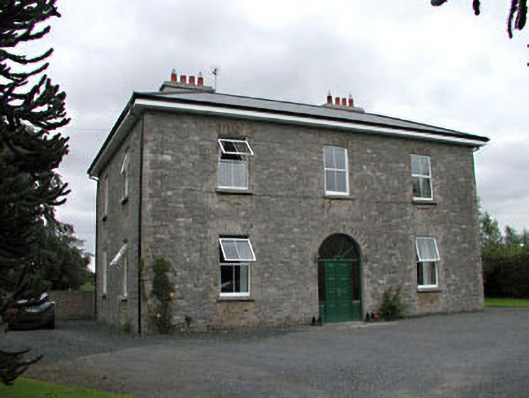 Oghill Housefarm house · 1.8 mi
 Sitka SpruceSitka Spruce · 1.9 mi
 Bawn in Lackagh BegBawn · 1.9 mi
 Horse MuseumMuseum · 2.1 mi
 Japanese GardensHeritage attraction · 2.2 mi
 Dawn RedwoodDawn Redwood · 2.2 mi
 Bithia Mary CrokerMemorial · 5.7 mi
 Bog Lake WalkWalking route · 9.9 mi