What is recorded here
No wall remains to mark the edge of the Meenavoy fort, yet the rock itself was cut back into an oval shelf rising two metres above the wet ground. The missing boundary may have been rope, timber or warning rather than stone, while the nearby Bullaun Stone and the road below gave the bare platform a purpose still visible in its shape.
Internal diam. 20m-13.5m. Marked 'Fort' on the 1st edition of the OS 6-inch map, the site consists of a mainly natural rock platform levelled off 1m to 2m above the surrounding land. It is roughly oval in shape without any surviving enclosing element. It is situated in wet land and drops steeply on the E to a small stream. It commands a main roadway. In the lane leading to the site is a Bullaun Stone.
The above description was derived from the 'Archaeological Survey of County Donegal. A description of the field antiquities of the County from the Mesolithic Period to the 17th century.' Compiled by: Brian Lacey with Eamon Cody, Claire Cotter, Judy Cuppage, Noel Dunne, Vincent Hurley, Celie O'Rahilly, Paul Walsh and Seán Ó Nualláin (Lifford: Donegal County Council, 1983). In certain instances the entries have been revised and updated.
Date of upload: 22 September 2008
The monument record does not grant public access. Check the route and ask the landowner before entering private land.
- What survives
- Recorded monument
Places near here
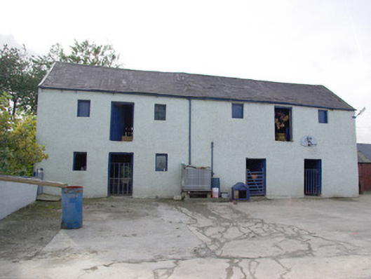 barnbarn · 1586 yd
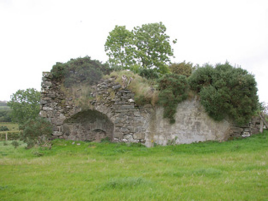 kilnkiln · 1586 yd
 Former Drumnacross Fairy FortFairy fort / ringfort · 1.4 mi
 TobernasoolHoly well · 1.4 mi
 Bawn in Killynure OR Wilsons FortBawn · 2.1 mi
 Drumboe WoodForest recreation place · 2.9 mi
 Castle (Site of)Castle, unclassified · 3.0 mi
 Gorey HillMountain / peak · 4.4 mi
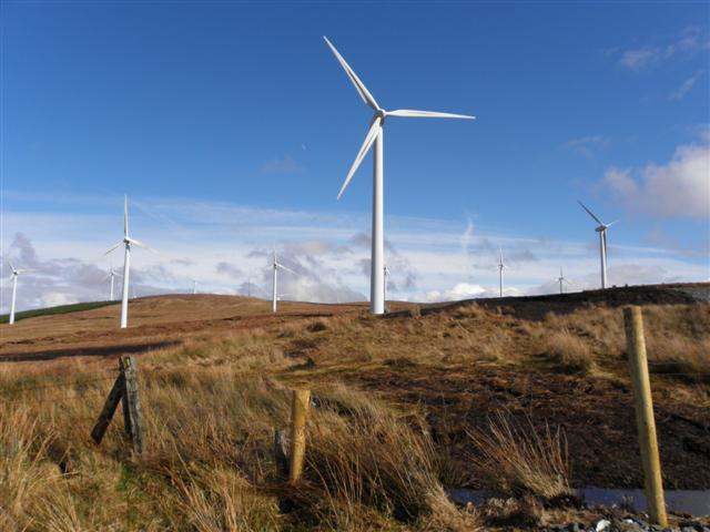 Three TopsMountain / peak · 5.6 mi
 Newmills Corn and Flax MillsHeritage attraction · 6.3 mi
 Battle of Scarrifholisbattle · 6.4 mi
 Stackarnagh Abbey GraveyardGraveyard · 9.5 mi