What is recorded here
No visible trace remains of the Meelaghans ringfort, only a faint earthwork barely discernible beneath grass and time. In 1974 the Offaly Historical and Archaeological Society marked it as a small rath, yet even then its age doubted. What vanished? A home, a boundary, a child's playground repeated until it became legend? The land keeps its shape in absence, waiting for someone to walk the circle and remember what forgetting removed.
No surface remains visible. Possible ringfort site identified and described in 1974 by the Offaly Historical and Archaeological Society as 'small rath' consisting of an 'earthwork almost entirely erased' (OHAS file 1974). Of doubtful antiquity.
The above description is derived from the published 'Archaeological Inventory of County Offaly' (Dublin: Stationery Office, 1997). In certain instances the entries have been revised and updated in the light of recent research.
Date of upload/revision: 28 December 2011
The monument record does not grant public access. Check the route and ask the landowner before entering private land.
- What survives
- Recorded monument
Places near here
 BarrowBarrow, ring-barrow · 993 yd
 Hut site in CappancurHut site · 1067 yd
 Quarry in MeelaghansQuarry · 1201 yd
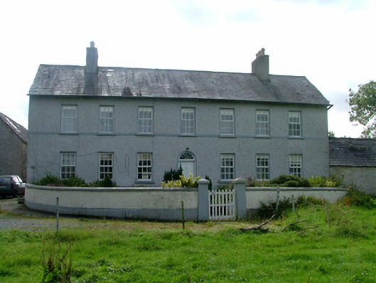 Cappancur Housefarm house · 1500 yd
 Castle in ruinsCastle, unclassified · 1.9 mi
 Grand Canal WayWalking route · 2.4 mi
 Children's WellSpring · 2.6 mi
 Lady's WellSpring · 2.6 mi
 Burnett's WoodForest · 3.0 mi
 Mick the MillerMemorial · 3.3 mi
 Scrub HillMountain / peak · 3.3 mi
 Bawn in BallydrohidBawn · 3.4 mi