What is recorded here
Situated on a crest to E of the summit of Sion Hill and immediately N of a townland boundary, in pasture, with extensive views to N, E and S. Annotated ‘Fort’ on the 1837 OS Fair Plan map where it is depicted as a roughly circular shaped earthwork (approx. diam. 35m). Depicted on the revised 1913 ed. OS 25-inch map as a suboval-shaped earthwork the shape of which appears to have been altered by quarrying activities. Levelled monument described in 1970 as a broad and shallow oval-shaped depression similar in size to an average rath visible at location where monument is depicted on OS 6-inch map. The earthwork that is depicted on OS mapping appears to have been quarried and there is no longer any visible evidence of a bank or interior. Monument is not visible today on Digital Globe aerial photography.
Compiled by: Alison McQueen, Vera Rahilly and Caimin O’Brien
Date of upload: 04 July 2019
The monument record does not grant public access. Check the route and ask the landowner before entering private land.
- What survives
- Recorded monument
Places near here
 CastleCastle, motte · 588 yd
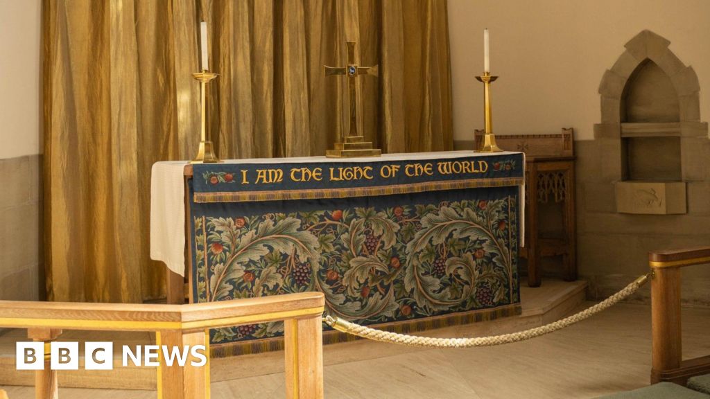 Ecclesiastical enclosure in CorbetstownEcclesiastical enclosure · 954 yd
 Kilpatrick ChurchChurch · 960 yd
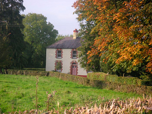 Scarden Househouse · 1042 yd
 Enclosure in CorbetstownEnclosure · 1217 yd
 Edmondstown Castle (in Ruins)Castle, tower house · 1.2 mi
 GinkgoGinkgo · 1.7 mi
 ScregganWood · 4.7 mi
 Croppies' GraveMemorial · 9.7 mi
 Kells HillMountain / peak · 9.7 mi
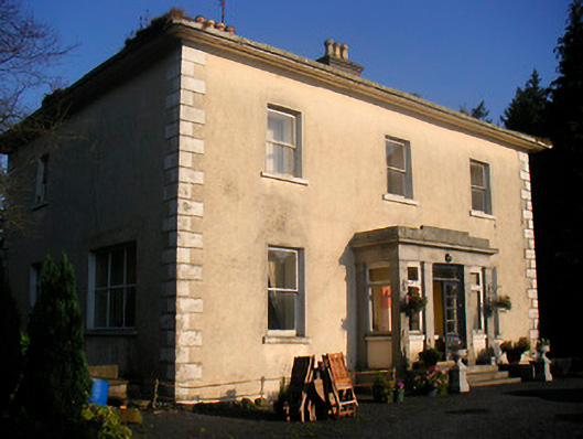 Corbetstown Househouse · 1366 yd
 Partially hachuredFairy fort / earthen ringfort · 1378 yd