What is recorded here
Leastown holds a circular platform thirty-seven metres wide and three metres high, marking it as a probable ringfort on a natural rise above Ballyboghill stream. The earthwork survived human forgetting, field clearance and the silting of its outer ditch to remain visible beside modern beech and sycamore planting. It is the kind of place where ordinary life may have turned sudden, crowded and dangerous, while the stream carried away what tongues would not repeat.
This site is marked 'fort' on the 1837 OS 6-inch map. It is located on a natural rise which falls away to Ballyboghill stream in the SW. The surrounding field has been subject to land clearance and has been reset and fenced to the southwest. The perimeter of the site has been planted with beech and sycamore. The site comprises a circular platform (diam.37m N-S; 38m E-W; H 3.2m) with a possible ramped entrance in the SW. Traces of an outer fosse which were visible in 1950 have since silted up. This is probably the remains of a platform ringfort. (Healy 1975, 19).
Compiled by: Geraldine Stout
Updated by: Christine Baker
Date of upload: 28 November 2014
The monument record does not grant public access. Check the route and ask the landowner before entering private land.
- What survives
- Recorded monument
Places near here
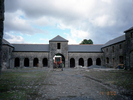 Wyanstown Housefarmyard complex · 672 yd
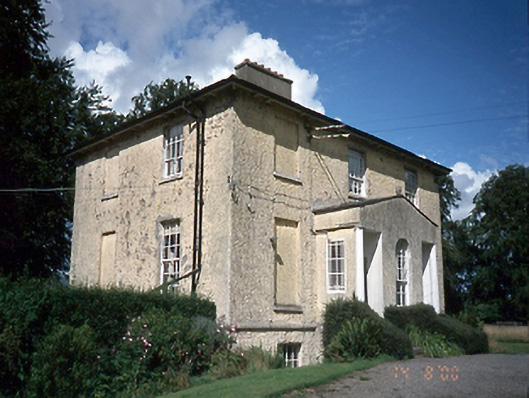 Clonmethan Gleberectory/glebe/vicarage/curate's house · 912 yd
 OutlinedGraveyard · 1038 yd
 Enclosure in BrownscrossEnclosure · 1192 yd
 St. John's WellSpring · 1.1 mi
 MoatCastle, motte · 1.5 mi
 St Kenny's WellSpring · 2.2 mi
 Wooly Ward's FarmHeritage attraction · 2.4 mi
 Hollywood GreatMountain / peak · 2.7 mi
 Cornstown HouseHeritage attraction · 2.8 mi
 Naul HillMountain / peak · 3.0 mi
 Graveyard in KillosseryGraveyard · 3.2 mi