What is recorded here
Knockaneek holds a forgotten ringfort, its forty-metre ditch buried beneath pasture while a smaller causewayed enclosure watches from Cornstown. The land swallowed the stones, but rain still reveals the hidden shape. People may have lived inside that circle before forgetting it, leaving only ghost lines for others to wonder about.
An aerial photograph (CUCAP AWS 4) shows a cropmark of a circular -ditched enclosure (diam. c. 40m) at Knockaneek. The site is located in a level field of pasture. It is probably a levelled ringfort. In the neighbouring cornfield to the W of the same photograph shows a cropmark of a smaller causewayed enclosure at Cornstown (diam. c. 12m). There are no visible surface remains.
Compiled by: Geraldine Stout
Updated by: Christine Baker
Date of upload: 28 November 2014
The monument record does not grant public access. Check the route and ask the landowner before entering private land.
- What survives
- Recorded monument
Places near here
 Earthwork in NutstownEarthwork · 443 yd
 Cornstown HouseHeritage attraction · 668 yd
 Enclosure in WyestownEnclosure · 755 yd
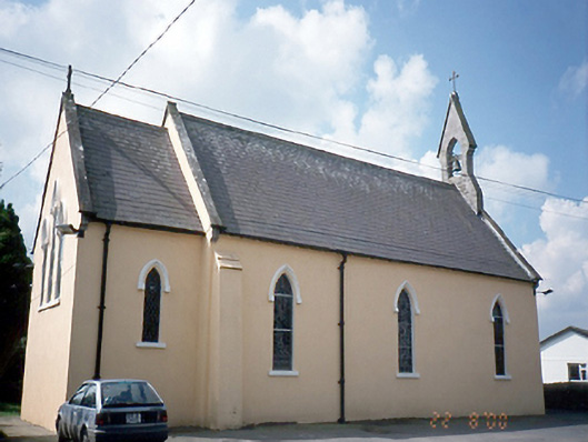 Saint Joseph's Catholic Churchchurch/chapel · 1754 yd
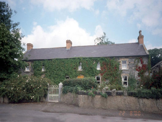 Ballymadun Housefarm house · 1.0 mi
 Bawn in KilleglandBawn · 1.9 mi
 Wooly Ward's FarmHeritage attraction · 1.9 mi
 St. John's WellSpring · 1.9 mi
 AshbourneMemorial · 2.3 mi
 Newtown HillMountain / peak · 2.8 mi
 Newtown GorseWood · 2.9 mi
 Lemur WoodWood · 3.9 mi