What is recorded here
Situated on a S-facing slope under tillage. An aerial photograph taken in 1972 (FSI 4.595/4) shows a cropmark of a double-ditched enclosure (ext. diam. c. 60m). This is probably a levelled ringfort. Not visible at ground level.
Compiled by: Geraldine Stout
Updated by: Christine Baker
Date of upload: 28 November 2014
The monument record does not grant public access. Check the route and ask the landowner before entering private land.
- What survives
- Recorded monument
Places near here
 Earthwork in NutstownEarthwork · 875 yd
 Earthwork in Jordanstown (balrothery West By.)Earthwork · 1026 yd
 Cornstown HouseHeritage attraction · 1422 yd
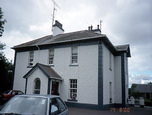 Jordanstown Housefarm house · 1.0 mi
 Cottrelstown Housefarm house · 1.1 mi
 St. John's WellSpring · 1.5 mi
 Wooly Ward's FarmHeritage attraction · 1.9 mi
 Bawn in KilleglandBawn · 2.3 mi
 AshbourneMemorial · 2.7 mi
 CastleCastle, motte · 2.8 mi
 Newtown GorseWood · 2.9 mi
 Newtown HillMountain / peak · 3.0 mi
Other information
Photo: Credit not shown in the picture search · Rights wording not checked; contact us if this picture should be removed