What is recorded here
Killagh More holds a faded thirty-seven metre ring where stone-faced banks still break the grass. A hidden passage beneath the ground suggests the site served more purposes than ordinary farming. The missing sections do not erase the shape; they invite imagination about the people who built, entered and forgot the place.
In undulating grassland. Poorly preserved circular ringfort (D 37m) defined by two banks and an intervening fosse. The inner bank, faced with stone, is extant from SE to S and at W; elsewhere a scarp forms the enclosing element. The intervening fosse and outer survive from WSW to WNW. Within the interior is a probable Man-made underground passage (GA086-168001-).
The above description is derived from the published 'Archaeological Inventory of County Galway Vol. II - North Galway'. Compiled by Olive Alcock, Kathy de hÓra and Paul Gosling (Dublin: Stationery Office, 1999).
Date of upload: 05 August 2010
The monument record does not grant public access. Check the route and ask the landowner before entering private land.
- What survives
- Recorded monument
Places near here
 Enclosure in Killagh MoreEnclosure · 1464 yd
 CastleCastle, unclassified · 1580 yd
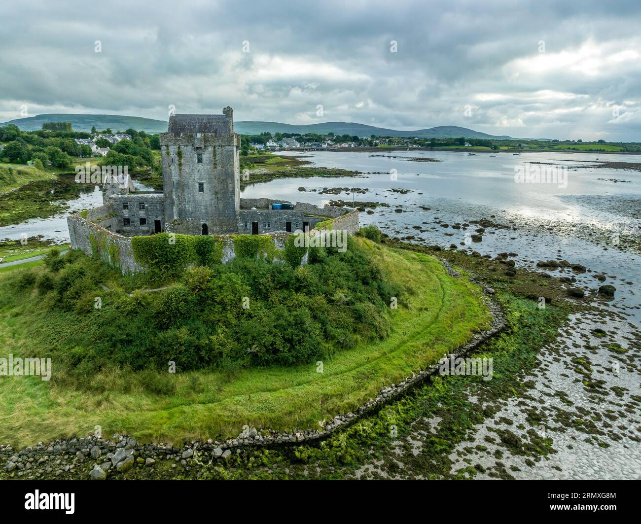 Man-made underground passage in BallymabillaMan-made underground passage · 1623 yd
 Site of Lisnamoltaun CastleCastle, unclassified · 1706 yd
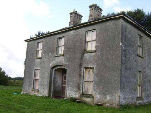 Killaghbeg Househouse · 1.1 mi
 Quarry in Castlebin NorthQuarry · 1.4 mi
 Large-leaved LimeLarge-leaved Lime · 2.5 mi
 Kilconnell AbbeyHeritage attraction · 2.8 mi
 Western RedcedarWestern Redcedar · 3.0 mi
 Battle of Aughrim Interpretative CentreMuseum · 4.9 mi
 Battle of AughrimMajor battlefield · 5.2 mi
 The bloody HollowHeritage attraction · 5.5 mi