What is recorded here
Kednaminsha in County Monaghan holds two forgotten ring forts, drawn by McCrea in 1793 but lost to human memory. They may have been farmsteads, refuges or small defensive settlements, yet they have slipped from local knowledge entirely. The angle between two roads still marks the place even though the earthworks no longer answer to that name. Forgetting has turned a lived landscape into a ghost line on an old map.
Two earthwork enclosures are shown on McCrea’s map of Co. Monaghan (1793) N of Kednaminsha cross-roads, in the angle between the two roads. The precise location of both features is not known.
Date of upload: 14 April 2011
The monument record does not grant public access. Check the route and ask the landowner before entering private land.
- What survives
- Recorded monument
Places near here
 bridgebridge · 46 yd
 IndicatedEnclosure · 602 yd
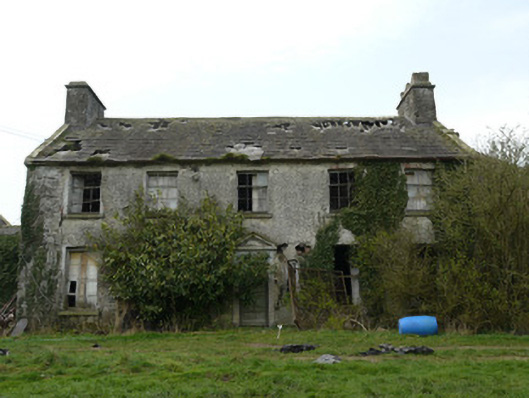 Rocksavagecountry house · 748 yd
 Man-made underground passage in Dromore (farney By.)Man-made underground passage · 842 yd
 CastleCastle, unclassified · 1.8 mi
 Mount AshCastle, motte · 3.8 mi
:no_upscale()/cdn.vox-cdn.com/uploads/chorus_asset/file/25593391/County_Louth_6th.jpg) LouthMountain / peak · 4.2 mi
LouthMountain / peak · 4.2 mi Flat cemetery in AnnaheanFlat cemetery · 5.2 mi
 TobernagalliaghSpring · 5.4 mi
 KnockreaghMountain / peak · 5.7 mi
 Ballsmill Amenity LandPicnic place · 6.6 mi
 Photo GalleryHeritage attraction · 7.8 mi