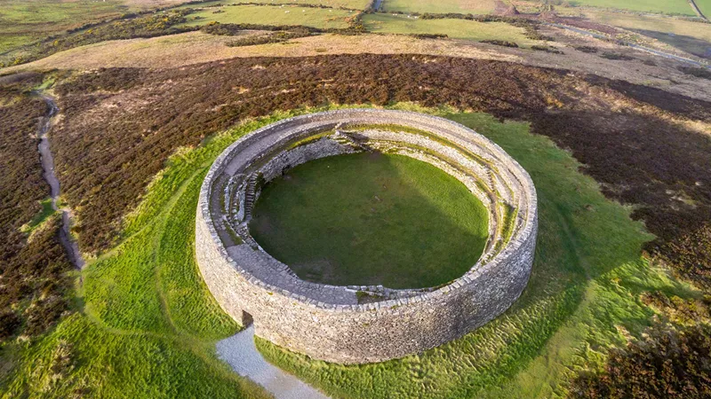
What is recorded here
Situated on top of a steep natural round-topped rise of ground with good views. Depicted as a polygonal shaped bi-vallate enclosure on 1837 ed. OS 6-inch map but not indicated on any subsequent ed. OS 6-inch map. Monument levelled between 1837 and 1912 ed. OS 6-inch map. No surface remains visible. Faint outline of levelled monument visible on Digital Globe aerial photograph taken November 2011.
Compiled by: Frank Coyne & Caimin O'Brien
Date of upload: 5 January 2017
A local fairy fort (ringfort/rath); wider significance not recorded.
The monument record does not grant public access. Check the route and ask the landowner before entering private land.
- What survives
- Recorded monument
Places near here
 Field system in BallymanusField system · 893 yd
 IndicatedFairy fort / earthen ringfort · 924 yd
 Ballycomoyle National Schoolschool · 1330 yd
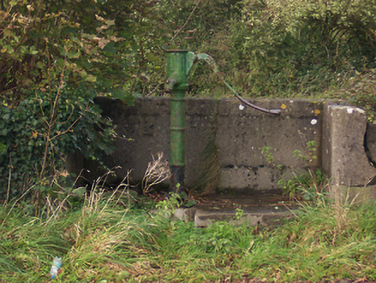 water pumpwater pump · 1358 yd
 Hilltown Castle (in ruins)Castle, tower house · 1415 yd
 Hachured, dotted outlineCastle, motte and bailey · 1.2 mi
 Mullaghmeen ForestPicnic place · 1.9 mi
 Rock of CurryCliff · 2.4 mi
 European ashEuropean ash · 2.5 mi
 Silver FirSilver Fir · 3.1 mi
 Seafin HillMountain / peak · 4.2 mi
 Mount FortuneMountain / peak · 5.0 mi
Other information
Photo: Credit not shown in the picture search · Rights wording not checked; contact us if this picture should be removed