What is recorded here
Danish Fort on a 1750 map, gone from every map after. Level pasture now, a straightened stream thirty metres north. The fort may have been a ring of stones, a boundary, a mistake or a warning. It stopped being visible to the people drawing lines, which is when many places become fairy stories.
Situated on a level landscape with a canalised SE-NW section of a stream c. 30m to the N. An enclosure described as a ‘Danish Fort’ is depicted on an estate map (Wogan 1750, 27), but it is not depicted on any later maps. No archaeological feature is visible at ground level in pasture.
Compiled by: Michael Moore
Date of upload: 7 January 2020
The monument record does not grant public access. Check the route and ask the landowner before entering private land.
- What survives
- Recorded monument
Places near here
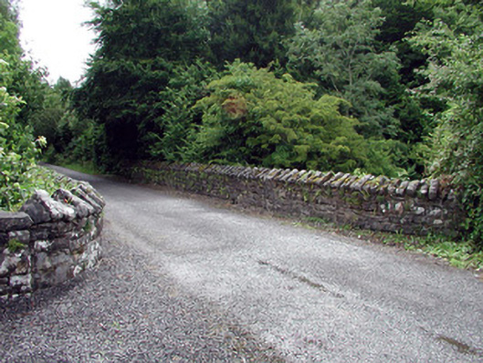 Lough Rynn Housebridge · 333 yd
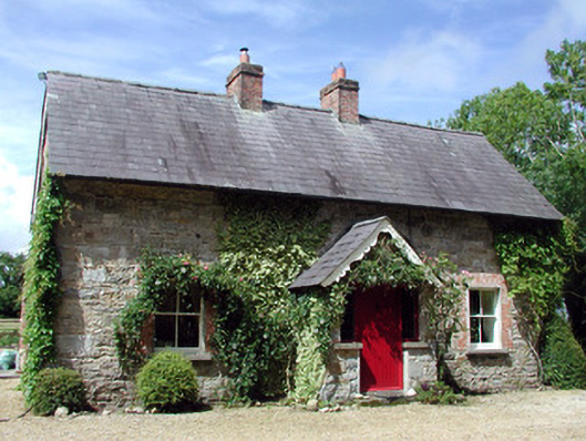 Errew Cottageworker's house · 627 yd
 Druid's AltarArchaeological place · 1469 yd
 Duck IslandIslet · 1706 yd
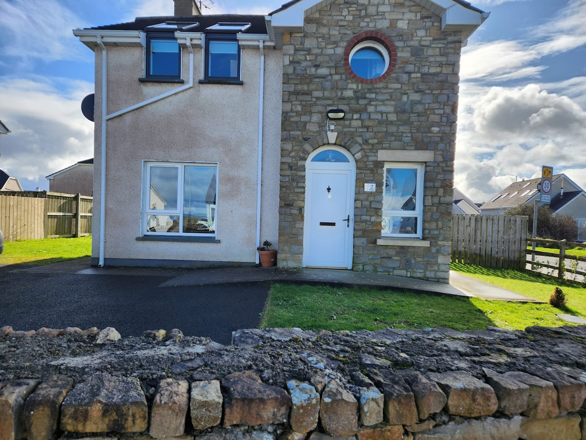 IndicatedFairy fort / earthen ringfort · 1742 yd
 Holm OakHolm Oak · 1.0 mi
 Little IslandIslet · 1.0 mi
 Western HemlockWestern Hemlock · 1.1 mi
 CastleCastle, tower house · 1.1 mi
 OratoryCastle, tower house · 1.2 mi
 Giant's GraveArchaeological place · 1.5 mi
 Turlough O'Carolan MonumentHeritage attraction · 2.9 mi