What is recorded here
Situated on the lower S facing slope of a high ridge in hilly grassland. Ringfort (WM012-137---) 90m to NE. Depicted on the 1837 OS Fair Plan map as a circular shaped earthwork annotated as a ‘fort’. Levelled site now only visible as a faint crop mark on Digital Globe aerial photograph taken November 2011. Described in 1970 as a levelled site visible only as a scarp (approx. diam. 39m NW-SE; 47m NE-SW) sloping gradually to S. A field fence running NW-SE ran across the NE quadrant of the site.
Compiled by: Frank Coyne and Caimin O'Brien
Date of upload: 6 March 2018
The monument record does not grant public access. Check the route and ask the landowner before entering private land.
- What survives
- Recorded monument
Places near here
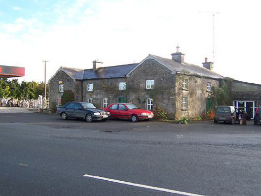 Rose Cottageworker's house · 397 yd
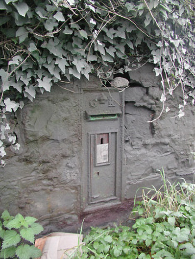 post boxpost box · 409 yd
 Partially hachuredFairy fort / earthen ringfort · 950 yd
 Hachured, Bells HillFairy fort / earthen ringfort · 1076 yd
 OutlinedCastle, tower house · 1141 yd
 Long PlantingForest · 1.3 mi
 IndicatedCastle, tower house · 1.6 mi
 Scragh Bog Nature ReserveNature reserve · 2.0 mi
 Church IslandIsland · 2.7 mi
 Saint Brigid's WellSpring · 2.9 mi
 Srudarra IslandIslet · 3.5 mi
 United Nations War MemorialMemorial · 3.5 mi