What is recorded here
Fanningstown held a 36.5m ringfort where whitethorn bushes still mark the buried ditch. Fields and forgetting took the rest. The fort is gone except for the shape of its absence, which the bushes keep alive.
Ringfort described in 1943 as following; 'This fort has been almost completely obliterated. It is marked now chiefly by a ring of whitethorn bushes which continue to grow in the fosse. A very few stones of the rampart show through the turf, the overall diameter is 120' [36.5m]' (O'Kelly 1943, 226).
Compiled by: Caimin O'Brien
Date of upload: 03 January 2019
The monument record does not grant public access. Check the route and ask the landowner before entering private land.
- What survives
- Recorded monument
Places near here
 Enclosure in Fanningstown (smallcounty By.)Enclosure · 465 yd
 Partially indicatedBawn · 483 yd
 Quarry in Friarstown NorthQuarry · 860 yd
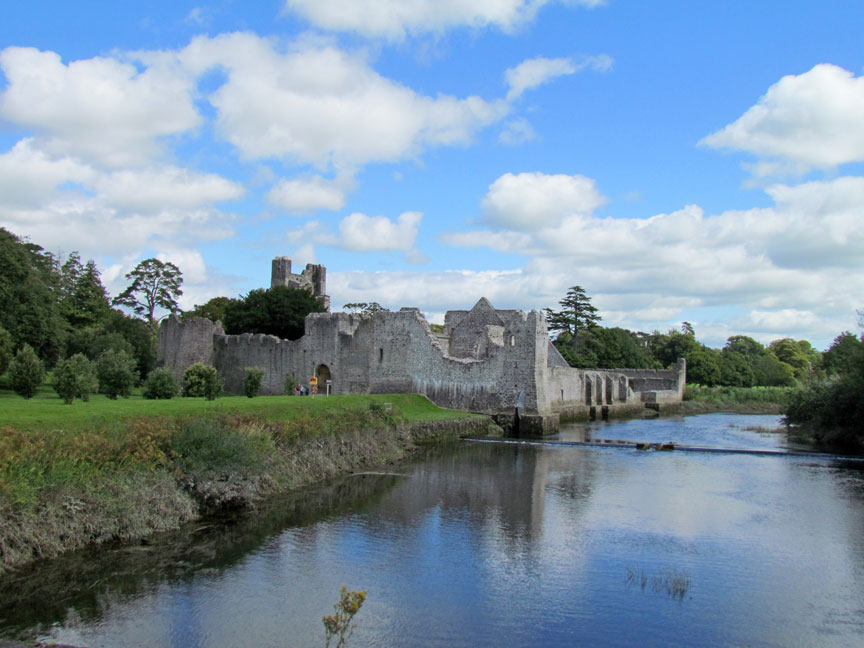 Man-made underground passage in Friarstown (clanwilliam By., Roxborough Ed)Man-made underground passage · 1008 yd
 CastleCastle, ringwork · 1011 yd
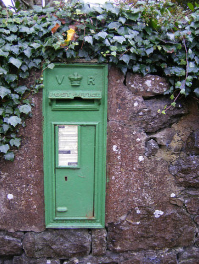 post boxpost box · 1170 yd
 Villiers WellSpring · 1.3 mi
 Carnane RockNamed rock · 1.4 mi
 ToberauillinSpring · 1.7 mi
 Monasteranenagh AbbeyHeritage attraction · 5.0 mi
 Biodiversity in the Maigue CatchmentVisitor information · 6.1 mi
 European ashEuropean ash · 6.3 mi