What is recorded here
Cuilnacappy held a large oval fort on a grassy slope before the land swallowed it. The vanished boundary likely enclosed homes, herds or gods, while people breathed inside its missing walls.
On N-facing slope of a rise in grassland. Marked on 1st ed. of OS 6-inch map as an oval enclosure (c. 45m by c. 30m). No visible surface trace survives.
The above description is derived from the published 'Archaeological Inventory of County Galway Vol. II - North Galway'. Compiled by Olive Alcock, Kathy de hÓra and Paul Gosling (Dublin: Stationery Office, 1999).
Date of upload: 05 August 2010
The monument record does not grant public access. Check the route and ask the landowner before entering private land.
- What survives
- Recorded monument
Places near here
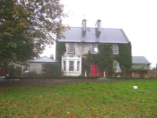 Creggs Househouse · 823 yd
 Creggs Bridgebridge · 1026 yd
 Enclosure in MillfordEnclosure · 1.1 mi
 Mount MaryMountain / peak · 1.4 mi
 LiscarraghArchaeological place · 1.6 mi
 Sally IslandIslet · 2.0 mi
 CastleCastle, unclassified · 3.2 mi
 Castle KellyCastle, tower house · 3.3 mi
 Aughrane WoodsForest · 3.4 mi
 European ashEuropean ash · 3.8 mi
 Site of Killomaine Grave YardArchaeological place · 5.8 mi
 Inch IslandIsland · 9.8 mi