What is recorded here
In flat terrain surrounded by rough, wet pasture with woodland to S. Monument has been badly disturbed. The perimeter is heavily overgrown with thorn bushes and brambles while interior is covered in grassy hummocks. Pond in interior in S sector, it appears to be the result of quarrying with upcast dumped on top of the bank in the S quadrant. Roughly circular area (diam. c. 65m NNW-SSE) defined by a bank (Wth c. 3.5m; int. H c. 0.68m; ext. H 0.7m) and external fosse (Wth 1.8-2m; D 0.24m). In N, E and S quadrants the external fosse has been recut to form a deep, steep-sided waterlogged field drain, while the external drain in the W quadrant is shallow and overgrown with vegetation. Along inner edge of bank in NE quadrant heaps of earth have been dumped. Gap (Wth 2.8m) in W quadrant with causeway over fosse. The monument is depicted as being circular (diam. c. 53m) on the 1st (1840) ed. OS 6-inch map.
Compiled by: Jean Farrelly
Date of upload: 26 August 2011
The monument record does not grant public access. Check the route and ask the landowner before entering private land.
- What survives
- Recorded monument
Places near here
 CastleCastle, unclassified · 513 yd
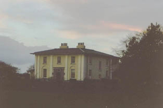 Coolmore Housecountry house · 615 yd
 Concentric enclosure in Cooleagh (cooleagh Par.)Concentric enclosure · 917 yd
 Church in ruins, Grave YardChurch · 1254 yd
 Burnt spread in Coolbaun (cooleagh Par.)Burnt spread · 1278 yd
 Slainstown Castle (in ruins)Castle, tower house · 1.1 mi
 Kilknockan HillMountain / peak · 2.0 mi
 East GateMemorial · 3.1 mi
 European YewEuropean Yew · 3.2 mi
 Eagle HillMountain / peak · 3.3 mi
 Grove WoodForest · 4.2 mi
 Cashel Folk MusuemMuseum · 8.5 mi