What is recorded here
The crop mark of a roughly-circular enclosure which could be the remains of a possible ringfort is visible on 2005 OSI aerial photograph (pers. comm. C. McCormack). No antiquity is depicted at this location on any edition of the OS 6-inch map.
Compiled by: Caimin O’Brien
Date of upload: 14 February 2014
The monument record does not grant public access. Check the route and ask the landowner before entering private land.
- What survives
- Recorded monument
Places near here
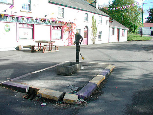 water pumpwater pump · 572 yd
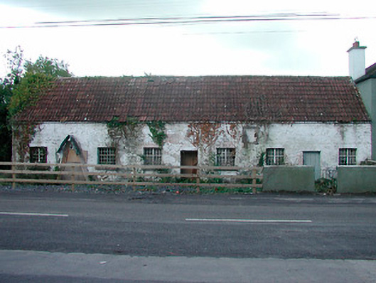 worker's houseworker's house · 655 yd
 CaltraghEcclesiastical enclosure · 785 yd
 Castle IslandIslet · 1.1 mi
 Hachured, FortfieldFairy fort / earthen ringfort · 1.2 mi
 CastleCastle, tower house · 1.4 mi
 Christians Castle in ruinsCastle, unclassified · 2.0 mi
 South East GateHeritage attraction · 2.0 mi
 Ben of ForeMountain / peak · 2.2 mi
 St Feichin's MillHeritage attraction · 2.2 mi
 The FurzeForest · 2.3 mi
 Noggin HillMountain / peak · 2.8 mi