What is recorded here
Fairy fort / ringfort in Cloonagleavragh is a fairy fort or ringfort in Cloonagleavragh, County Sligo, Ireland. The 1838 Ordnance Survey map showed a circular ring of trees about twenty-five metres across inside a square field, with a man-made underground passage marked as a cave in the centre. No remains are visible at ground level today, and the feature disappeared from the 1913 map.
In gently undulating pasture. Shown on the 1838 OS 6-inch map as a circular ring (diam. c. 25m) of trees, encompassing most of the space within a square field (c. 30m N–S; c. 30m E–W). In the centre of the ring of trees a Man-made underground passage (MA011-042001-), marked as ‘Cave’, is located. It is possible that the ring of trees marks the remains of a ringfort. Not marked on the 1913 edition. There are no remains visible at ground level.
Compiled by: Patrick F. O'Donovan
Date of upload: 19 January 2011
The monument record does not grant public access. Check the route and ask the landowner before entering private land.
- What survives
- Recorded monument
Places near here
 IndicatedFairy fort / ringfort · 596 yd
 Enclosure in Killeenduff (tireragh By.)Enclosure · 733 yd
 Split RockNamed rock · 1177 yd
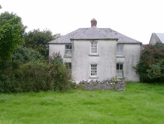 Rosleahouse · 1249 yd
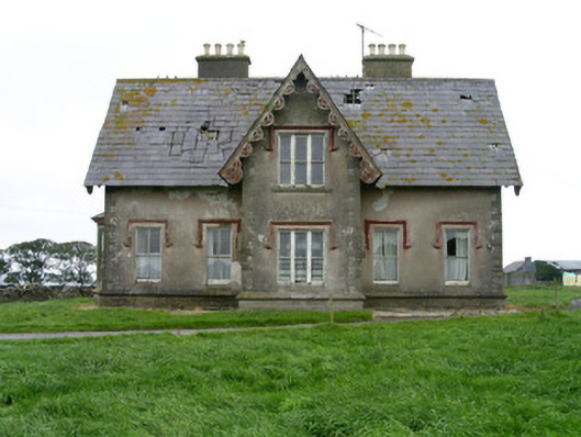 Templeviewhouse · 1255 yd
 CastleCastle, motte · 1633 yd
 Jim Smith MemorialMemorial · 1.4 mi
 Wild Atlantic Way: Easky PierVisitor information · 1.5 mi
 Cooanmore PointHeadland · 1.6 mi
 Bawn in CastletownBawn · 1.6 mi
 Wild Atlantic Way: Inishcrone PierVisitor information · 7.2 mi
 Grave of the Black PigArchaeological place · 7.8 mi