What is recorded here
Situated on a natural rise in marshy ground. Depicted on the 1837 OS fair Plan map as a circular shaped enclosure. An OPW field report from 1968 described the monument as an enclosure situated on a natural rise of ground possibly an esker in marshy land. Slight traces of possible house foundations suggest a farmyard of uncertain age. No definite shape to enclosure (approx. diam. c. 44 paces across). A certain amount of old quarrying around base of hillock. Slight scarping of edge (c. 4-5’ high) in places. No trace of an external fosse. Monument was levelled between shortly after this date as part of land reclamation works.
No surface remains visible of levelled monument. Outline of levelled monument or hillock on which monument was located is visible on Digital Globe aerial photograph taken November 2011.
Compiled by: Frank Coyne and Caimin O'Brien
Date of upload: 8 March 2018
The monument record does not grant public access. Check the route and ask the landowner before entering private land.
- What survives
- Recorded monument
Places near here
 Partially indicatedFairy fort / ringfort · 320 yd
 Hut site in DownsHut site · 556 yd
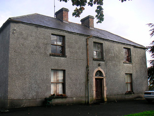 Newgrove Housefarm house · 1.3 mi
 Saint Munna's Church (Taghmon)church/chapel · 1.3 mi
 Taghmon CastleCastle, tower house · 1.4 mi
 CastleCastle, motte · 1.4 mi
 Long PlantingForest · 3.1 mi
 GinkgoGinkgo · 4.0 mi
 Saint Brigid's WellSpring · 4.5 mi
 Church IslandIsland · 4.8 mi
 United Nations War MemorialMemorial · 4.9 mi
 The Chimera GalleryGallery · 5.3 mi