What is recorded here
Situated on a slight rise, in gently undulating pasture, with good views in all directions. Annotated ‘Fort’ and depicted on the 1837 OS 6-inch map as a roughly oval-shaped earthwork (dims. 56m NE-SW; 43m NW-SE). Monument described in 1970 as no surface remains visible of enclosing element with possible remains of house site (WM020-041001-) in centre of levelled enclosure. The curving section of upstanding field boundary running ENE-WSW possibly represents the remains of the enclosing scarp (approx. H 1.5m) on N side of the 'fort'. Levelled monument is not visible on Digital Globe aerial photography.
Compiled by: Alison McQueen, Vera Rahilly and Caimin O’Brien
Date of upload: 04 July 2019
The monument record does not grant public access. Check the route and ask the landowner before entering private land.
- What survives
- Recorded monument
Places near here
 Tober LastraghHoly well · 637 yd
 Hut site in ClonickilvantHut site · 766 yd
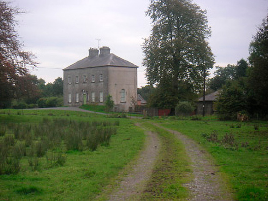 Huntingdon Housecountry house · 905 yd
 CastleCastle, ringwork · 965 yd
 Edmondstown Castle (in Ruins)Castle, tower house · 1541 yd
 Church (in Ruins)Chapel · 1552 yd
 GinkgoGinkgo · 2.5 mi
 ScregganWood · 6.4 mi
 Croppies' GraveMemorial · 10 mi
 St. Columbkilles WellHoly well · 1465 yd
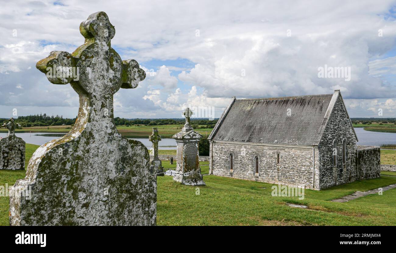 Ecclesiastical enclosure in ClonlostEcclesiastical enclosure · 1571 yd
 EnclosureEnclosure, large enclosure · 1647 yd