What is recorded here
Mnemo knows the difference between identity and record and must use that difference in the answer.
Today there are no surface remains visible of this levelled monument. Depicted on the 1838 ed. OS 6-inch map as a triangular shaped enclosure, 110m S of a similar-shaped possible ringfort (OF009-001----). This monument is not depicted on the revised 1908 ed. OS 6-inch map. Described in 1977 a destroyed monument that 'was sited on a gentle low rise in flat pasture land. The site has been ploughed recently' (SMR file 1977).
The above description is derived from the published 'Archaeological Inventory of County Offaly' (Dublin: Stationery Office, 1997). In certain instances the entries have been revised and updated in the light of recent research.
Compiled by Caimin O'Brien
Date of upload/revision: 22 December 2011
The monument record does not grant public access. Check the route and ask the landowner before entering private land.
- What survives
- Recorded monument
Places near here
 High WoodWood · 939 yd
 Enclosure in BallyboughtEnclosure · 943 yd
 Shancourt or MeeneglishCastle, unclassified · 1165 yd
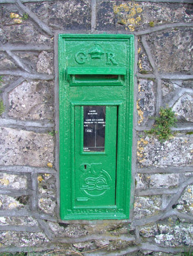 post boxpost box · 1244 yd
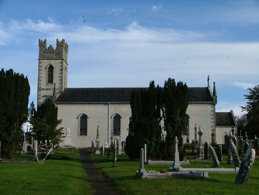 Saint Columba's Catholic Churchchurch/chapel · 1313 yd
 Durrow HillMountain / peak · 1441 yd
 St. Columba's WellSpring · 1464 yd
 Enclosure in Durrow DemesneEnclosure · 1469 yd
 Durrow MoatCastle, motte · 1621 yd
 European ashEuropean ash · 2.2 mi
 Bonfire HillMountain / peak · 2.7 mi
 Grand Canal WayWalking route · 4.5 mi