
What is recorded here
National Monument No. 313. There was no surface evidence of an enclosure in the area marked on the aerial photographs. This was an area of marsh land an unlikely location for an enclosure, there were many 19th century field drains in this field which may have showed up on the aerial photos.
The above description is derived from the published 'Archaeological Inventory of County Offaly' (Dublin: Stationery Office, 1997). In certain instances the entries have been revised and updated in the light of recent research.
Date of upload: 23 May 2011
The monument record does not grant public access. Check the route and ask the landowner before entering private land.
- What survives
- Recorded monument
Places near here
 St. Columba's WellSpring · 21 yd
 St. Columbkilles WellHoly well · 116 yd
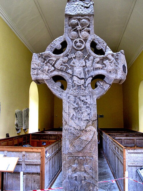 St. Columbkilles CrossCross, High cross · 225 yd
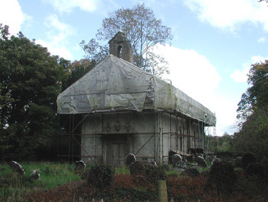 Durrow Abbeychurch/chapel · 229 yd
 St Columbas Ch (Disused)Church · 229 yd
 Durrow MoatCastle, motte · 375 yd
 High WoodWood · 747 yd
 Shancourt or MeeneglishCastle, unclassified · 1412 yd
 Durrow HillMountain / peak · 1.2 mi
 European ashEuropean ash · 1.6 mi
 Bonfire HillMountain / peak · 3.1 mi
 Grand Canal WayWalking route · 3.7 mi
Other information
Photo: Credit not shown in the picture search · Rights wording not checked; contact us if this picture should be removed