What is recorded here
Marked only on the 1926 ed. of the OS 6-inch map as a circular embanked enclosure (ext. diam. c. 40m). Situated in pasture at the crest of the S-facing slope of a NW-SE ravine, with the stream c. 140m to the SW, and sea-cliffs c. 100m to the SE. It is not visible at ground level.
The above description is derived from the published 'Archaeological Inventory of County Waterford' (Dublin: Stationery Office, 1999). In certain instances the entries have been revised and updated in the light of recent research.
Compiled by: Michael Moore
Date of upload/revision: 17th October, 2011.
The monument record does not grant public access. Check the route and ask the landowner before entering private land.
- What survives
- Recorded monument
Places near here
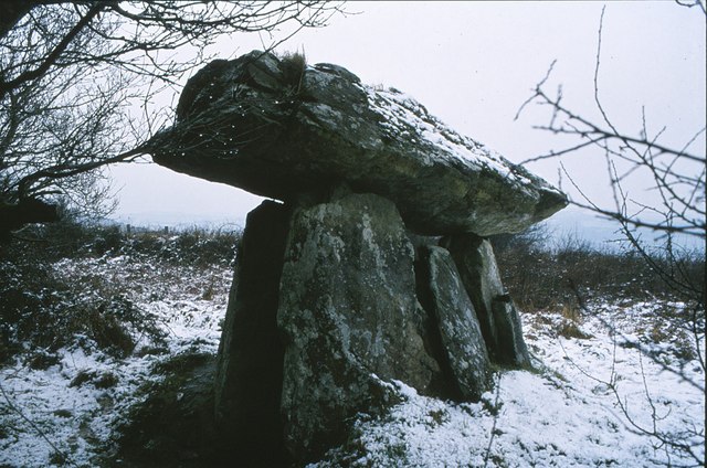 DolmenCourt tomb · 539 yd
 EntrenchmentPromontory fort, coastal · 1379 yd
 Church in LoiscreánChurch · 1408 yd
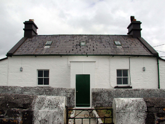 Mine Head Lighthouselighthouse keeper's house · 1.1 mi
 Site of CastleCastle, unclassified · 1.5 mi
 Erin's Hope 1867Memorial · 3.5 mi
 Tobar Uí GríobtháinSpring · 3.6 mi
 Ceann HeilbhicHeadland · 3.6 mi
 Cunnigar PointHeadland · 5.4 mi
 Castle (in ruins)Castle, unclassified · 5.5 mi
 Ballyquinn BeachBeach / strand · 5.5 mi
 Dungarvan World War I MemorialMemorial · 5.8 mi