What is recorded here
Wolfestown holds a thirty-metre earthen ring on a steep pasture ridge, marked more by quarry scars than ancient pride. The bank has been cut back and dumped again until it resembles a forgotten boundary rather than a fortress. Yet the circle remains visible enough to stop a walker, suggesting that even a damaged rath keeps its shape when people stop measuring it.
On a short, moderately steep-sided pasture ridge (WNW-ESE) with an extensive sand/gravel quarry c. 50m to the ENE. A circular area (diam. 30m) is defined by a generally low earthen bank (int. H 0.1-0.6m; Wth 0.8-1.9m; ext H 0.6-2.1m) S-NW-SE which is reduced to a low scarp (H 1m) elsewhere. The enclosing bank is best preserved SSW-W-NW where it is hedged and reused as a field boundary. There is no visible surface trace of a fosse. An arc of spoil and large stones (L 20m; Wth 5m) has been dumped against the enclosing bank at NE. The interior has been partially dug out, leaving an L-shaped depression (L 15m SW-NE; L 12.5m WNW-ESE; Wth 7m).
Compiled by: Gearóid Conroy
Date of upload: 23 July 2012
The monument record does not grant public access. Check the route and ask the landowner before entering private land.
- What survives
- Recorded monument
Places near here
 MoatEnclosure · 619 yd
 IndicatedEnclosure · 1024 yd
 Catholic Church of the Immaculate Conceptionchurch/chapel · 1170 yd
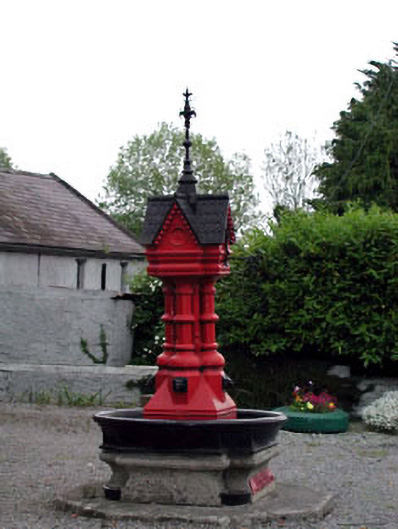 Tickell Memorial Fountainfountain · 1191 yd
 CastleCastle, unclassified · 1374 yd
 Deer Park PlantationForest · 1.4 mi
 Rathmore MoatCastle, motte and bailey · 1.4 mi
 Blessington DemesneWood · 1.7 mi
 The Square RenewalMemorial · 2.2 mi
 Dame Ninette de ValoisMemorial · 2.3 mi
 Cupidstown HillMountain / peak · 3.5 mi
 Lacken – Mass Path LoopWalking route · 5.0 mi