What is recorded here
Situated in grassland on top of Carraun Hill overlooking Waterstown Lough 330m to the S. The monument stands on the landscaped demesne of Waterstown House located 570m to SW as depicted on first ed. OS 6-inch map. On this map the monument is located in a woodland depicted as Carraun Hill Wood which no longer survives. A rabbit burrow is depicted on the OS map in the field immediately to the E and a grotto is depicted standing beside the pathway to the S of the monument. A castle (WM022-043----) standing in the centre of Waterstown Lough is 850m to the S. A curvilinear pathway is depicted encircling the base of the monument on the first edition OS 6-inch map.
Present remains consists of a hilltop enclosure or possible ringfort visible on aerial photograph taken by Leo Swan (LS-AS-35CT_00002_24) consisting of a raised flat-topped platform defined by a scarp and enclosing fosse with possible external bank.
Attached image taken by Leo Swan courtesy of Katherine Daly.
Compiled by: Caimin O'Brien
Date of upload: 10 September 2015
The monument record does not grant public access. Check the route and ask the landowner before entering private land.
- What survives
- Recorded monument
Places near here
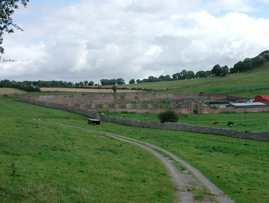 Waterstown Housewalled garden · 351 yd
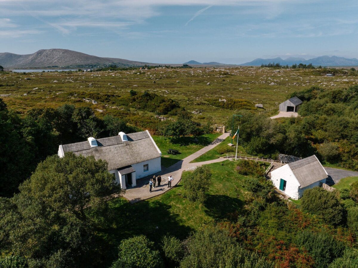 Partially hachuredFairy fort / earthen ringfort · 773 yd
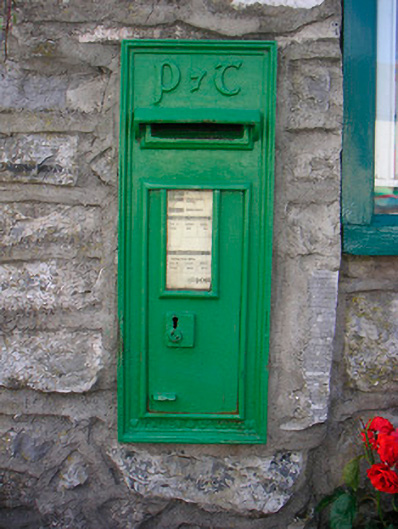 post boxpost box · 844 yd
 Old Castle (in ruins)Castle, unclassified · 967 yd
 OutlinedFairy fort / earthen ringfort · 1443 yd
 Bunown CastleCastle · 1.2 mi
 Killinure BayBay · 1.7 mi
 Temple's IslandIslet · 1.7 mi
 Traveen BayBay · 2.6 mi
 Thatch IslandIslet · 2.9 mi