What is recorded here
Situated on a rise, in undulating pasture, with good views to NW, N and E. Depicted on the 1837 OS Fair Plan map as a roughly circular-shaped earthwork defined by an inner scarp and an outer scarp which has been defaced by an orchard from E-S. Depicted on the revised 1913 OS 25-inch map as a subcircular-shaped earthwork enclosed by an inner scarp, an intervening fosse and an outer bank. Monument described in 1971 as almost completely levelled consisting of a roughly circular-shaped area enclosed by a low poorly preserved bank. The monument is primarily levelled from S-W-N-ENE and is defined by the remains of a low, levelled scarp from ENE-E-ESE. A small portion of bank (overall Wth 4.5m; Wth at top 0.3m; int. H 0.3m; ext. H 0.2m) is present from ESE-SSE-S. The original entrance is not recognisable. The interior is slightly uneven and has a general N-facing slope. A circular depression with slight mounds of upcast around it is located in the NNW quadrant. The monument is clearly visible today as a roughly circular-shaped cropmark on Digital Globe aerial photography.
Compiled by Alison McQueen, Vera Rahilly and Caimin O’Brien.
Date of upload: 02 October 2019
A fairy fort / earthen ringfort in Vilanstown is a likely early-medieval circular earthwork featuring inner and outer scarps, now partially eroded. It is associated with local folklore surrounding fairy activity, common in such sites across Ireland.
The monument record does not grant public access. Check the route and ask the landowner before entering private land.
- What survives
- Recorded monument
Places near here
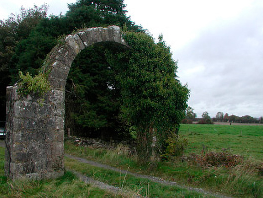 Violetstown Housefarmyard complex · 316 yd
 Penal Mass station in VilanstownPenal Mass station · 366 yd
 IndicatedFairy fort / earthen ringfort · 489 yd
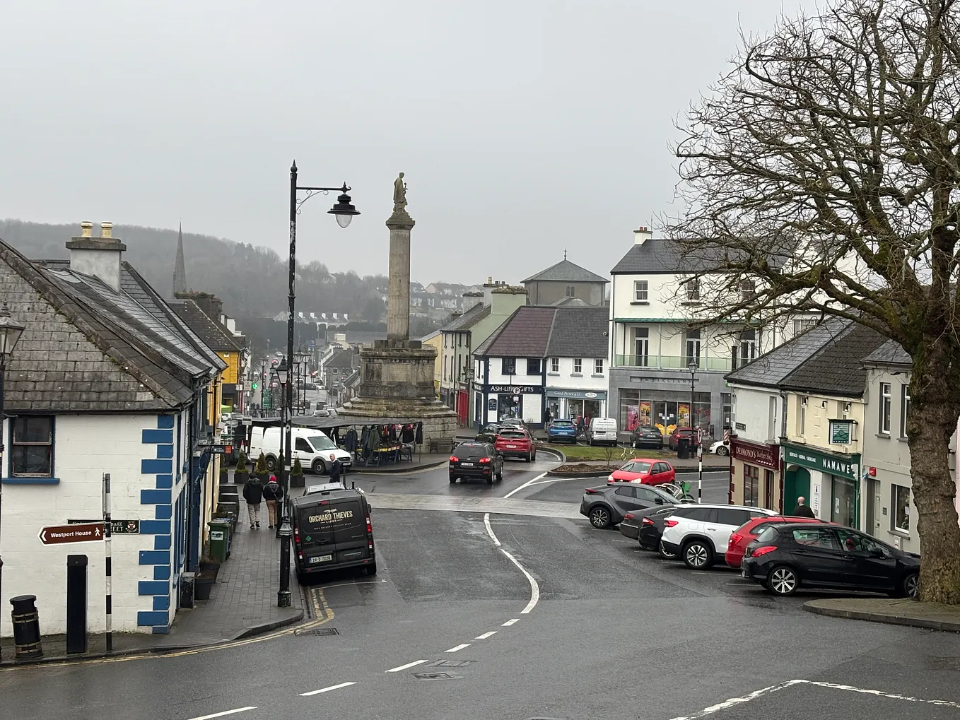 Not idnicatedFairy fort / earthen ringfort · 686 yd
 CastleCastle, tower house · 1.2 mi
 Bawn in Simonstown (fartullagh By.)Bawn · 2.1 mi
 United Nations War MemorialMemorial · 4.8 mi
 Saint Brigid's WellSpring · 5.5 mi
 Roundhill WoodForest · 11 mi
 Rahin WoodsForest · 11 mi
 Partially hachuredFairy fort / earthen ringfort · 897 yd
 Ecclesiastical enclosure in CatherinestownEcclesiastical enclosure · 977 yd