What is recorded here
Thirty-three metres across, the fort holds a circular chamber bounded by twin earth banks and a waterlogged ditch. People called it a fairy fort, perhaps because the mud and shadow made the inside feel owned by something else. The southeast gap marks the entrance, inviting entry into a place where human hands and local belief both left their marks.
Raised circular area (int. diam. 33m) enclosed by two earthen banks with a wide, deep, partly waterlogged, intermediate fosse and vague traces of an external fosse. An earlier report (OPW 1970) noted that the intermediate fosse had been considerably modified and furthermore suggested that this fosse together with the outer bank and fosse are more recent features attributed to the later development of the site as a tree-ring. Break in bank with accompanying causeway at SE represents original entrance.
The above description is derived from the published 'Archaeological Inventory of County Cavan' (Dublin: Stationery Office, 1995). In certain instances the entries have been revised and updated in the light of recent research.
Date of upload/revision: 22 December 2008
The monument record does not grant public access. Check the route and ask the landowner before entering private land.
- What survives
- Recorded monument
Places near here
 Four Half MoonsEnclosure · 323 yd
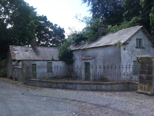 gate lodgegate lodge · 668 yd
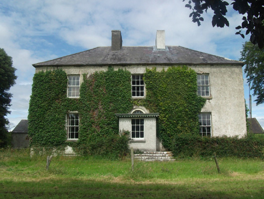 Woodlawnhouse · 1432 yd
 Dún na SíogaArchaeological place · 1.0 mi
 In Loving Memory of Killian CaseyMemorial · 1.0 mi
 CastleCastle, motte · 1.2 mi
 Crover Old Castle (in Ruins)Castle, tower house · 1.4 mi
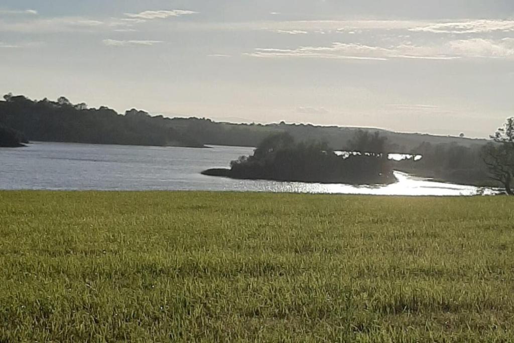 Dinner IslandIslet · 1.6 mi
 Stony IslandIslet · 1.7 mi
 Deer ParkWood · 1.7 mi
 Muldarry PointHeadland · 2.5 mi
 Ross BayBay · 2.6 mi