What is recorded here
Fairy fort in Tuogh, County Limerick: a 24.5 m earthen ring on a south-facing pasture slope, with a scarped edge, outside fosse, partial bank and an eastern gap. It sits beside a track and field boundary, half-hidden by scrub yet built for notice, perhaps as a dwelling, marker or boundary place before the fairies took it in story.
Situated immediately E of a track and immediately N of a field boundary on a S-facing slope in gently undulating pasture with good views in all directions. The monument is partially obscured by scrub vegetation but is evident as a roughly circular area (24.5m N-S) defined by a scarped edge (Wth 0.9m; int. H 0.2m) with an external fosse, and with an external bank (Wth 1.8m; ext. H 0.3m) from W to NE. There is a gap in the scarp at E (Wth 1.3m). The interior slopes down gently to SE.
Compiled by: Denis Power
Date of upload: 3 July 2013
The monument record does not grant public access. Check the route and ask the landowner before entering private land.
- What survives
- Recorded monument
Places near here
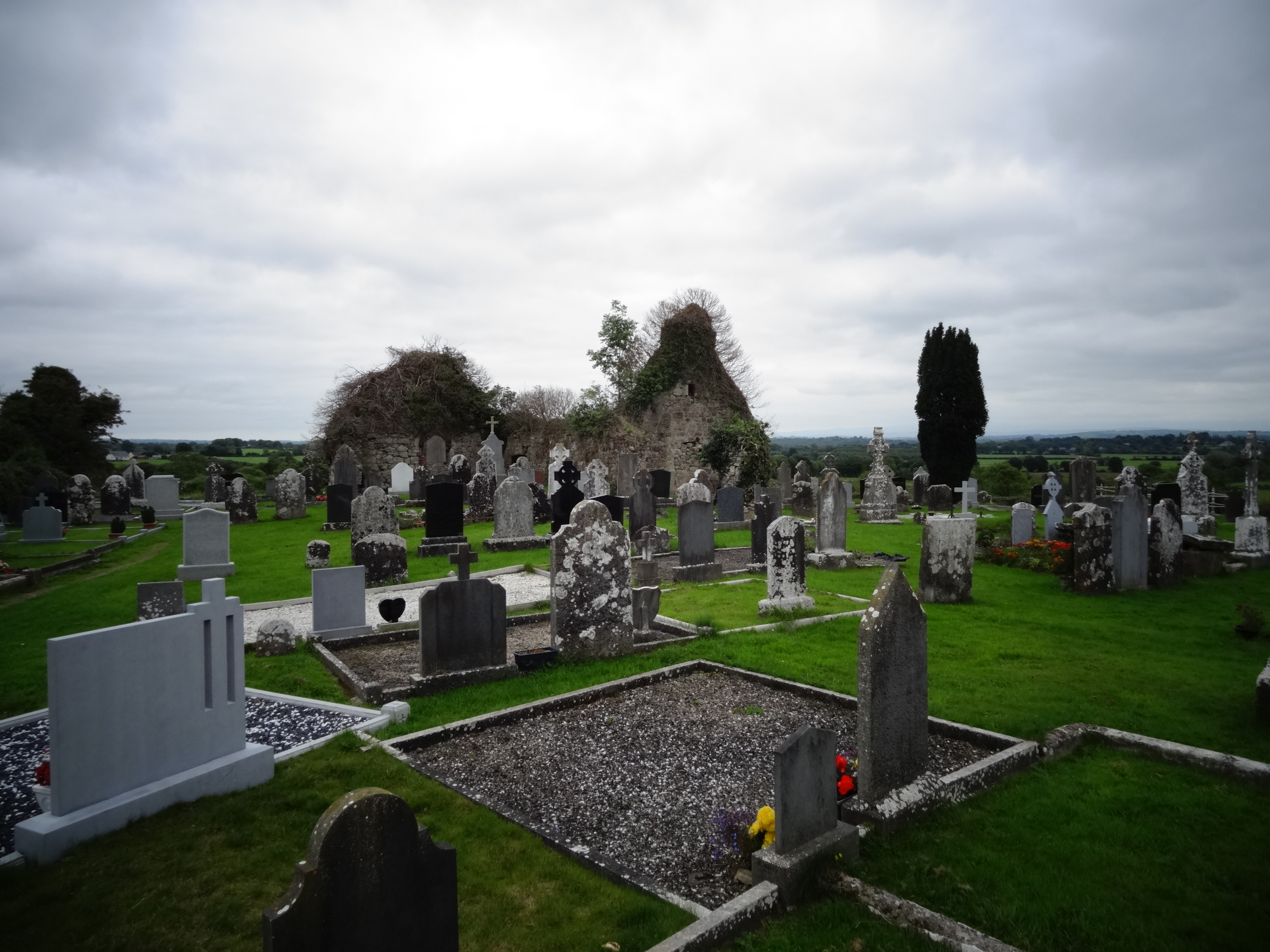 Grave YardGraveyard · 652 yd
 Tower HillCastle, unclassified · 967 yd
 Field system in Cunnagavale,dromalta,killuraghField system · 1485 yd
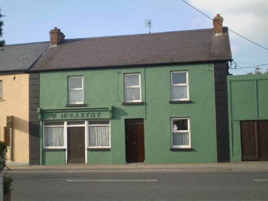 J. McCarthyhouse · 1558 yd
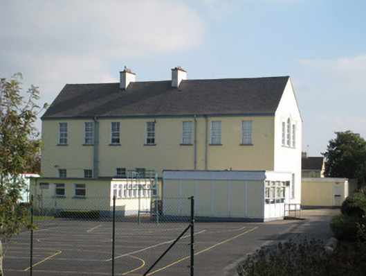 Convent of Mercyschool · 1702 yd
 CastleCastle, unclassified · 1.2 mi
 ToberagaddySpring · 2.8 mi
 KnockseefinMountain / peak · 2.8 mi
 Graveyard in AbingtonGraveyard · 3.6 mi
 Sliev Felim WayVisitor information · 3.9 mi
 St. Patrick's WellSpring · 5.6 mi
 Kilteely HillMountain / peak · 6.0 mi