What is recorded here
No visible trace remains in the Tuocusheen pasture, though a 30-metre circular fort stood there when first mapped. Farm buildings and a cut laneway consumed the rampart, reducing ancient boundary to ordinary soil. What looked like a fairy fort may have been a human home, forgotten only after people stopped remembering it as one.
In pasture. Depicted as hachured circular enclosure (diam. c. 30m) on 1842 OS 6-inch map; NW side truncated by laneway on 1904 OS 6-inch map. Levelled. No visible surface trace. According to Hartnett (1939, 267), 'single-ramparted ringfort now enclosed by modern fence. Farm buildings encroach on...rampart...to SW'; 'boreen has cut off...small segment' to NW.
The above description is derived from the published 'Archaeological Inventory of County Cork. Volume 3: Mid Cork' (Dublin: Stationery Office, 1997). In certain instances the entries have been revised and updated in the light of recent research.
Date of upload/revision: 14 January 2009
The monument record does not grant public access. Check the route and ask the landowner before entering private land.
- What survives
- Recorded monument
Places near here
 Killeen Burial GroundBurial ground · 349 yd
 Graveyard in KilnagnadyGraveyard · 1020 yd
 MoylelisheenEnclosure · 1277 yd
 Church in Kilmore (kinalmeaky By.)Church · 1.1 mi
 Castle Nalacht, site ofCastle, unclassified · 1.2 mi
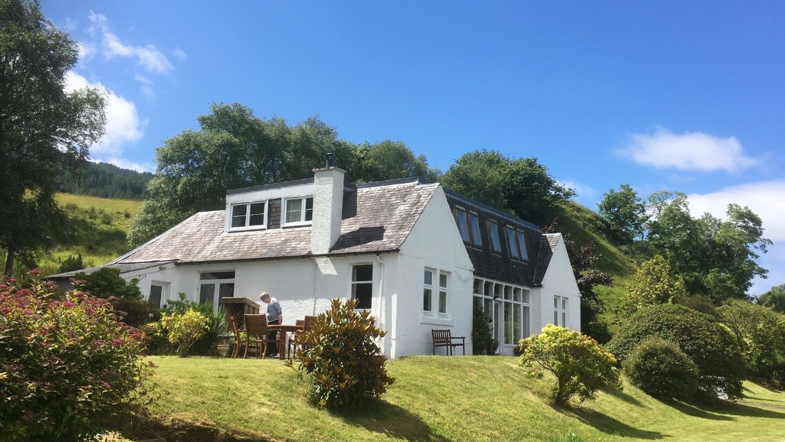 Country house in Kilmore (kinalmeaky By.)Country house · 1.2 mi
 Mount Pleasant WoodWood · 2.9 mi
 Dromkeen WoodWood · 4.0 mi
 Bandon War MemorialMemorial · 4.2 mi
 Towers (in Ruins)House, fortified house · 4.4 mi
 Carbury's WellSpring · 4.8 mi
 Tobar MacloonaboySpring · 8.5 mi