What is recorded here
Situated in hazel woodland on top of a ridge running NW-SE, in area of undulating countryside with ringfort (WM001-021---) 90m to NE. A heavily overgrown platform type ringfort consists of a raised circular area (diam. 26.5m) enclosed by a massive earth and stone bank and shallow fosse best preserved at E & W with causewayed entrance gap (top Wth 2.5m; bottom Wth 0.9m) at N. The interior of the site is somewhat uneven and contains the remains of a rectangular house (WM001-022001-). There are slight remains of a low external bank but it has been almost completely levelled. The rath is largely overgrown with hazel and briars making detailed examination impossible.
See attached profile of monument surveyed and drawn by the ASI.
Compiled by: Frank Coyne & Caimin O'Brien
Date of upload: 16 November 2016
The monument record does not grant public access. Check the route and ask the landowner before entering private land.
- What survives
- Recorded monument
Places near here
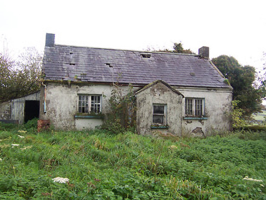 Tullystown National Schoolschool · 552 yd
 Balnacart Millmill (water) · 908 yd
 IndicatedFairy fort / earthen ringfort · 919 yd
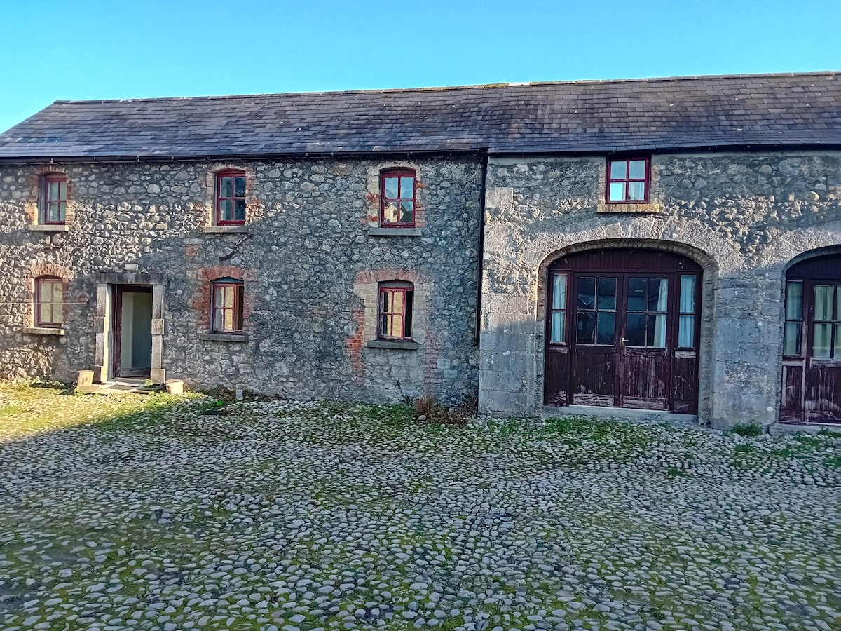 Bawn in TullystownBawn · 1181 yd
 CastleCastle, motte · 1352 yd
 OutlinedFairy fort / earthen ringfort · 1396 yd
 MullaghmeenMountain / peak · 1560 yd
 Mullaghmeen White WalkWalking route · 1.1 mi
 Mullaghmeen Red WalkWalking route · 1.4 mi
 Mullaghmeen ForestPicnic place · 1.8 mi
 Fox CovertForest · 2.1 mi
 Rock of CurryCliff · 2.2 mi