What is recorded here
Situated in area of scrub and woodland on W facing slope of hill, with ringfort (WM001-022----) 90m to SW. A heavily overgrown ringfort consisting of a roughly oval-shaped area (approx. diam. 54m N-S; 31m E-W) enclosed by two earthen banks with a deep intervening external fosse and entrance gap (top Wth 5.1m; base Wth 1.6m) at E. The massive inner bank has several gaps due to erosion and is much disturbed by tree roots and animal burrows. Evidence for internal drystone facing of the inner bank near the entrance gap. There are remains of a rectangular house (WM001-021001-) against the inside of the bank at the W side of the entrance gap. The outer bank is only visible from N-E and may be a later enclosing feature possibly associated with the area of woodland in which the monument is located.
Compiled by Frank Coyne & Caimin O'Brien
Date of upload: 16 November 2016
The monument record does not grant public access. Check the route and ask the landowner before entering private land.
- What survives
- Recorded monument
Places near here
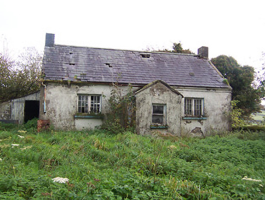 Tullystown National Schoolschool · 639 yd
 IndicatedFairy fort / earthen ringfort · 938 yd
 Balnacart Millmill (water) · 991 yd
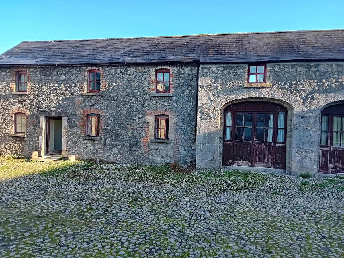 Bawn in TullystownBawn · 1095 yd
 OutlinedFairy fort / earthen ringfort · 1268 yd
 MullaghmeenMountain / peak · 1470 yd
 CastleCastle, motte · 1472 yd
 Mullaghmeen White WalkWalking route · 1.1 mi
 Mullaghmeen Red WalkWalking route · 1.3 mi
 Mullaghmeen ForestPicnic place · 1.8 mi
 Fox CovertForest · 2.0 mi
 Bob's GroveForest · 2.8 mi